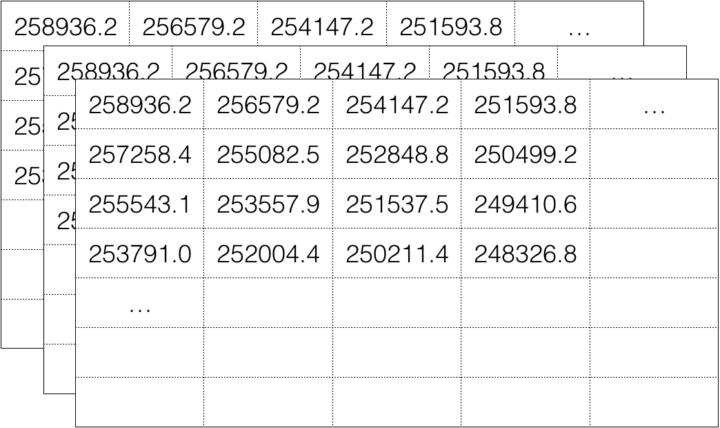
Visualizing Geospatial Data in R
Charlotte Wickham
Assistant Professor at Oregon State University
head(preds)
lon lat predicted_price
1 -123.3168 44.52539 258936.2
2 -123.3168 44.52740 257258.4
3 -123.3168 44.52940 255543.1
4 -123.3168 44.53141 253791.0
5 -123.3168 44.53342 252002.4
6 -123.3168 44.53542 250178.7
sp
provides some raster data classes:SpatialGrid
, SpatialPixels
, SpatialGridDataFrame
, SpatialPixelsDataFrame
raster
is better:library(sp)
countries_spdf
An object of class "SpatialPolygonsDataFrame"
Slot "data":
name iso_a3 population gdp region
1 Afghanistan AFG 28400000 22270.00
2 Angola AGO 12799293 110300.00
3 Albania ALB 3639453 21810.00
...
Slot "proj4string":
CRS arguments:
+proj=longlat +datum=WGS84 +no_defs +ellps=WGS84 +towgs84=0,0,0
library(raster)
countries_spdf
class : SpatialPolygonsDataFrame
features : 177
extent : -180, 180, -90, 83.64513 (xmin, xmax, ymin, ymax)
coord. ref. : +proj=longlat +datum=WGS84 +no_defs +ellps=WGS84 ...
variables : 6
names : name, iso_a3, population, gdp,
min values : Afghanistan, -99, 140, 16.00,
max values : Zimbabwe, ZWE, 1338612970, 15094000.00, ...
Visualizing Geospatial Data in R