Introduction to spatial data
Visualizing Geospatial Data in R

Charlotte Wickham
Assistant Professor at Oregon State University
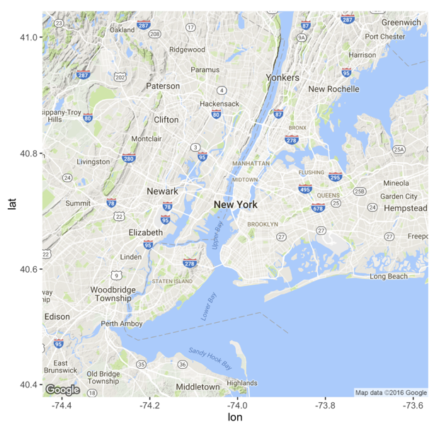
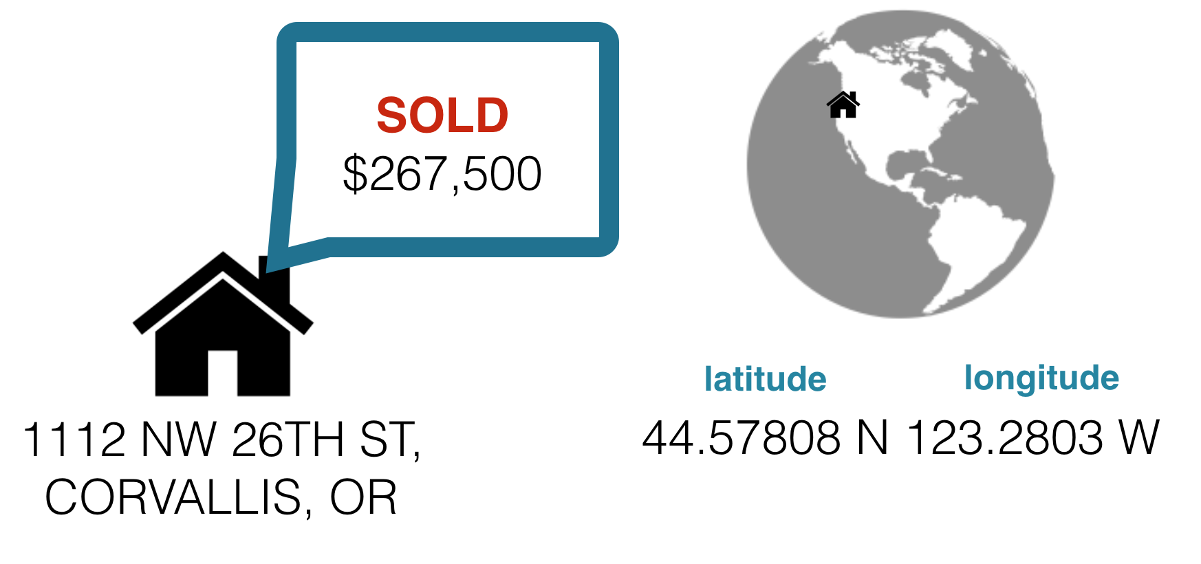
House sales in Corvallis

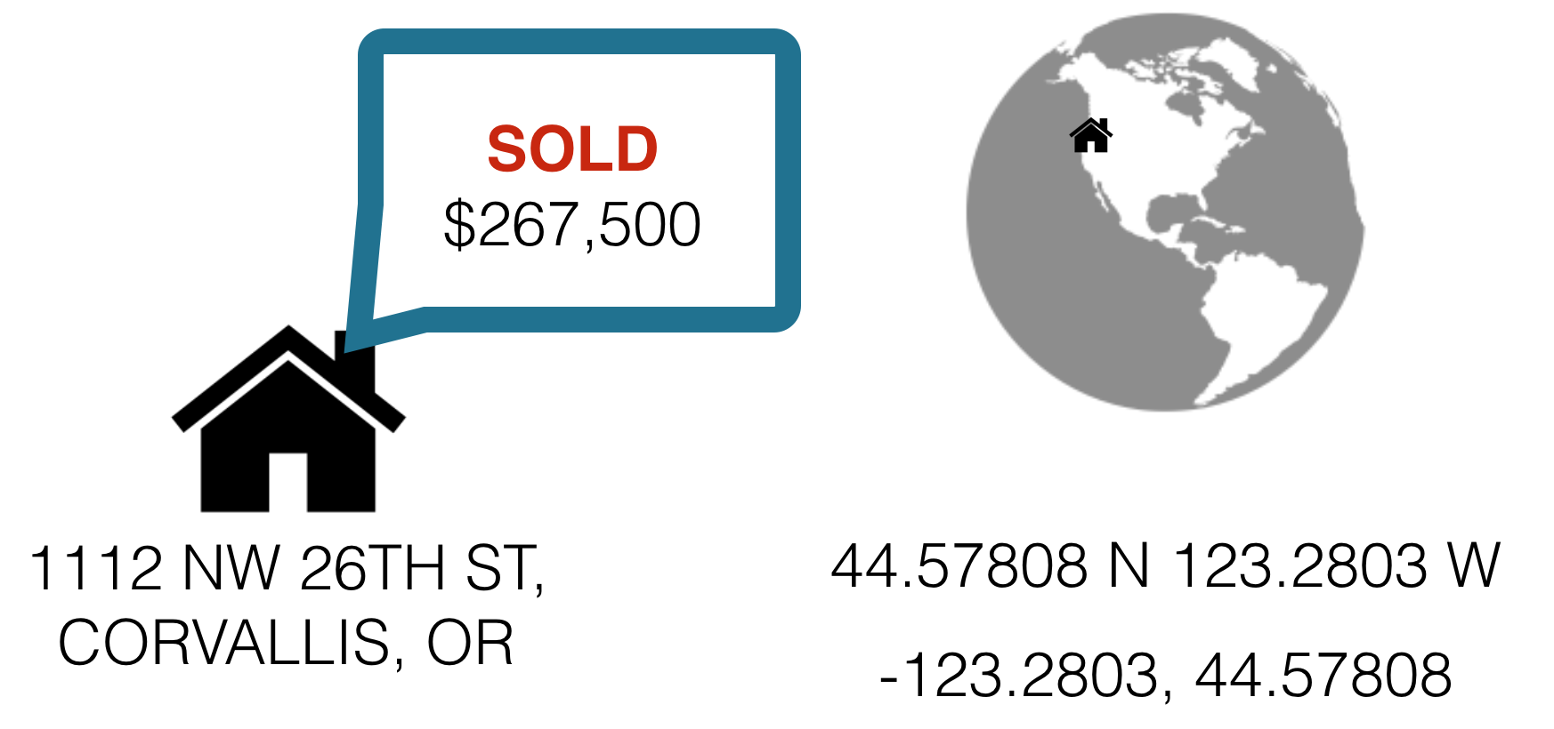
House sales in Corvallis
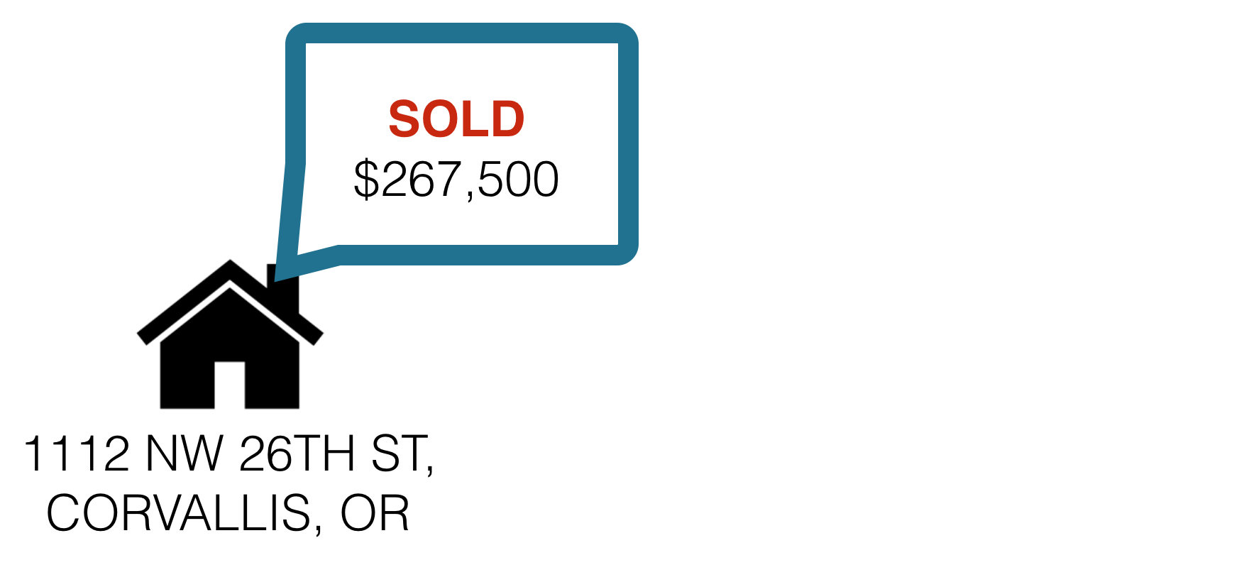
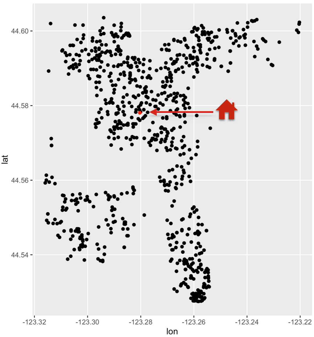
House sales in Corvallis
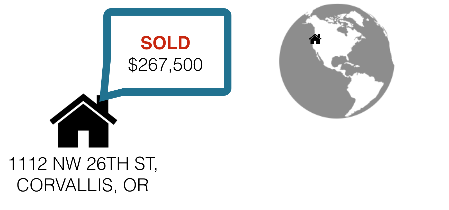
House sales in Corvallis
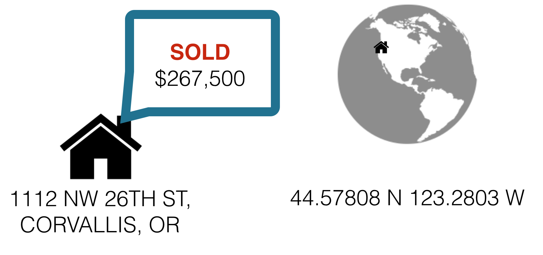
House sales in Corvallis
House sales in Corvallis
Displaying spatial data with ggplot2
The ggmap package