Trabalhando com Dados Geoespaciais em Python
Joris Van den Bossche
Open source software developer and teacher, GeoPandas maintainer
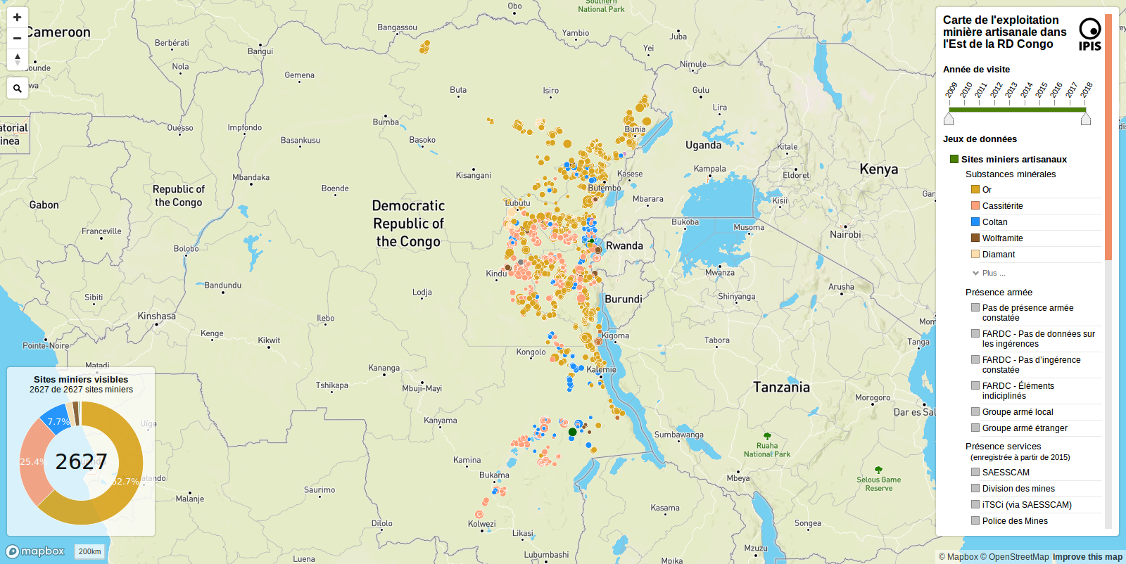
IPIS: International Peace Information Service
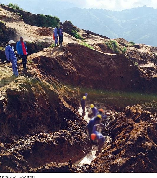
Imagem: G.A.O, domínio público, da Wikimedia Commons
Leitura de arquivos: geopandas.read_file("path/to/file.geojson")
Formatos compatíveis:
.shp, .dbf, .shx, .prj, ...).gpkg)E bancos de dados PostGIS!
Escrevendo um GeoDataFrame em arquivo com o método to_file():
# Writing a Shapefile file
geodataframe.to_file("mydata.shp", driver='ESRI Shapefile')
# Writing a GeoJSON file
geodataframe.to_file("mydata.geojson", driver='GeoJSON')
# Writing a GeoPackage file
geodataframe.to_file("mydata.gpkg", driver='GPKG')
Trabalhando com Dados Geoespaciais em Python