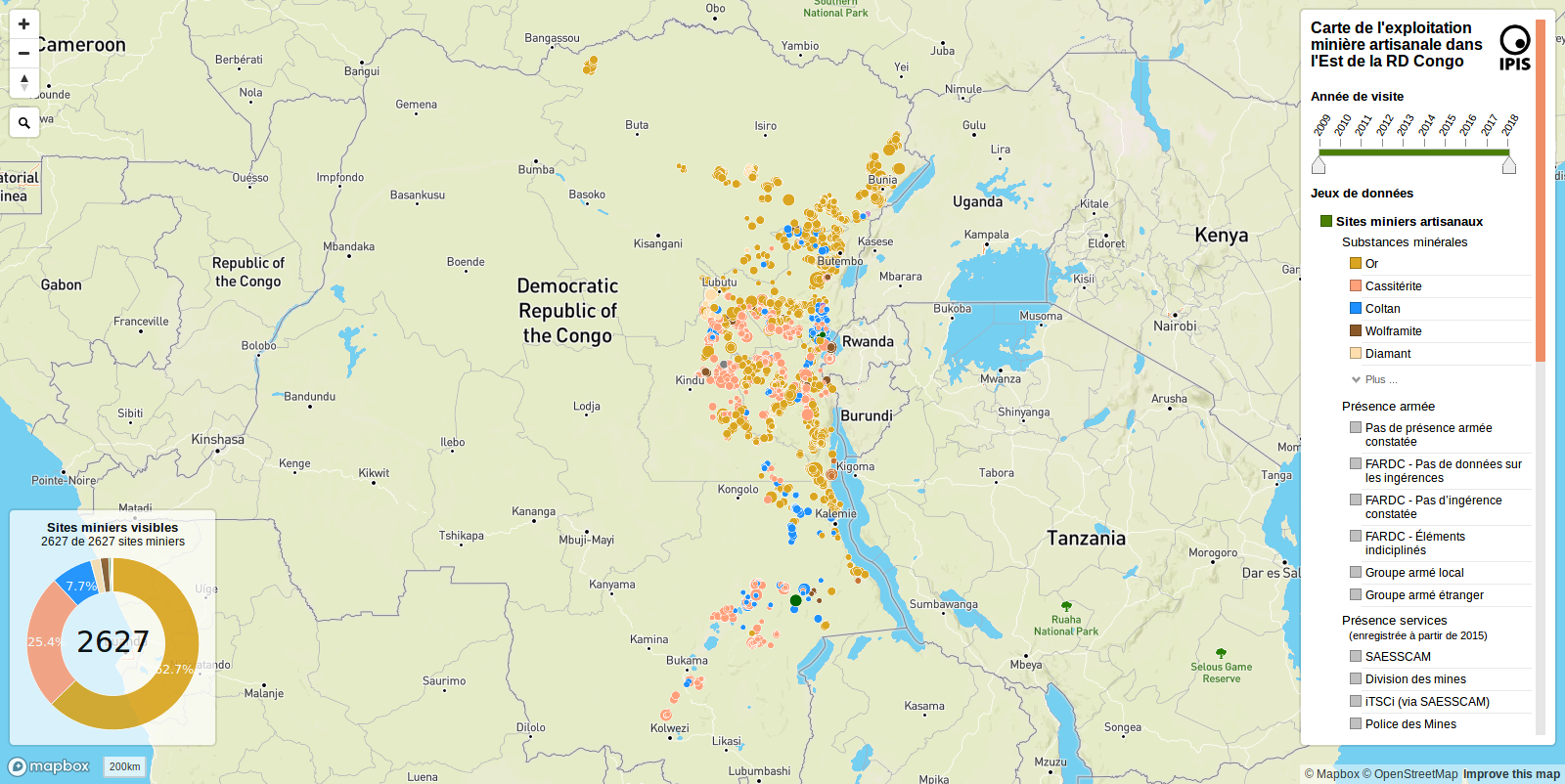
Introduzione all'insieme di dati
Lavorare con i dati geospaziali in Python

Joris Van den Bossche
Open source software developer and teacher, GeoPandas maintainer
Dati su siti minerari artigianali da IPIS
IPIS: International Peace Information Service
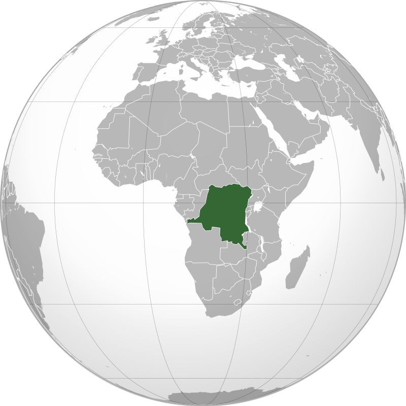
Immagine: Connormah, CC BY-SA 3.0, da Wikimedia Commons
Dati su siti minerari artigianali da IPIS
IPIS: International Peace Information Service
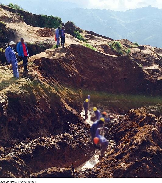 Immagine: G.A.O, pubblico dominio, da Wikimedia Commons