Coordinate Reference Systems
Lavorare con i dati geospaziali in Python

Joris Van den Bossche
Open source software developer and teacher, GeoPandas maintainer
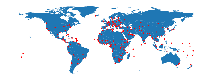
Geographic coordinates
Maps are 2D
Projected coordinates
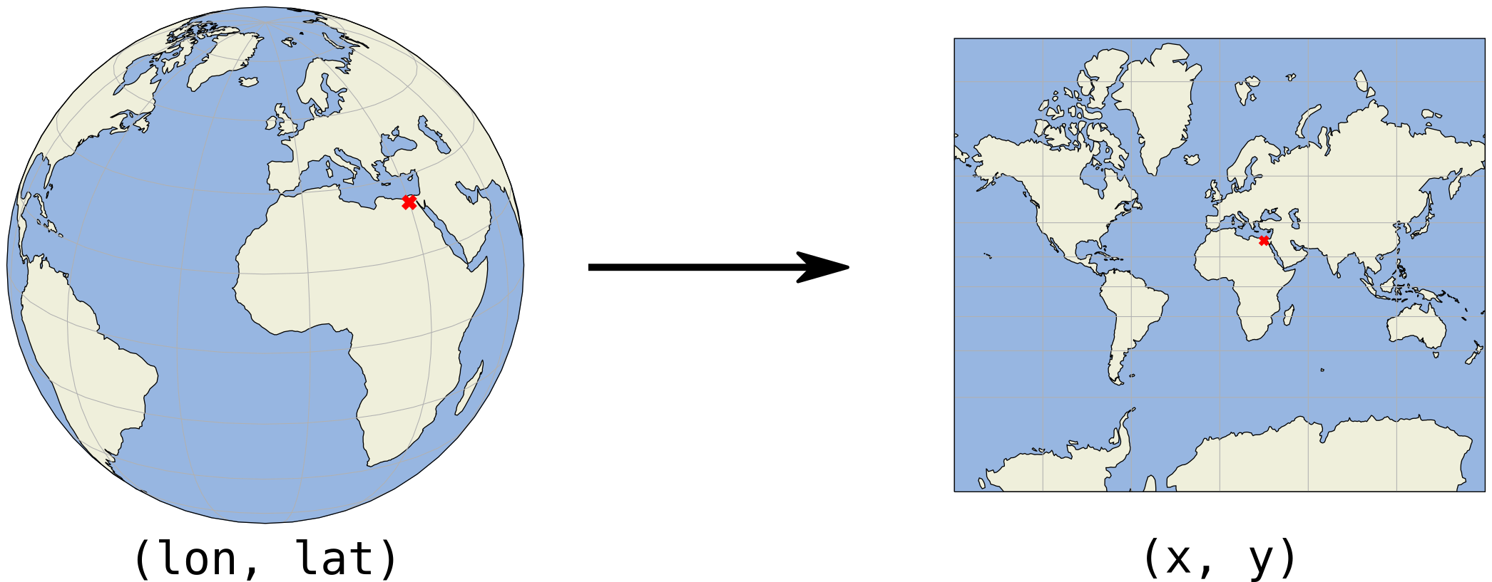
(x, y) coordinates are usually in meters or feet
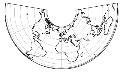
Projected coordinates - Examples
Albers Equal Area projection
Projected coordinates - Examples
Mercator projection
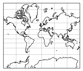
Projected coordinates - Examples
Projected size vs actual size (Mercator projection)