Veri setine giriş
Python ile Coğrafi Verilerle Çalışma

Joris Van den Bossche
Open source software developer and teacher, GeoPandas maintainer
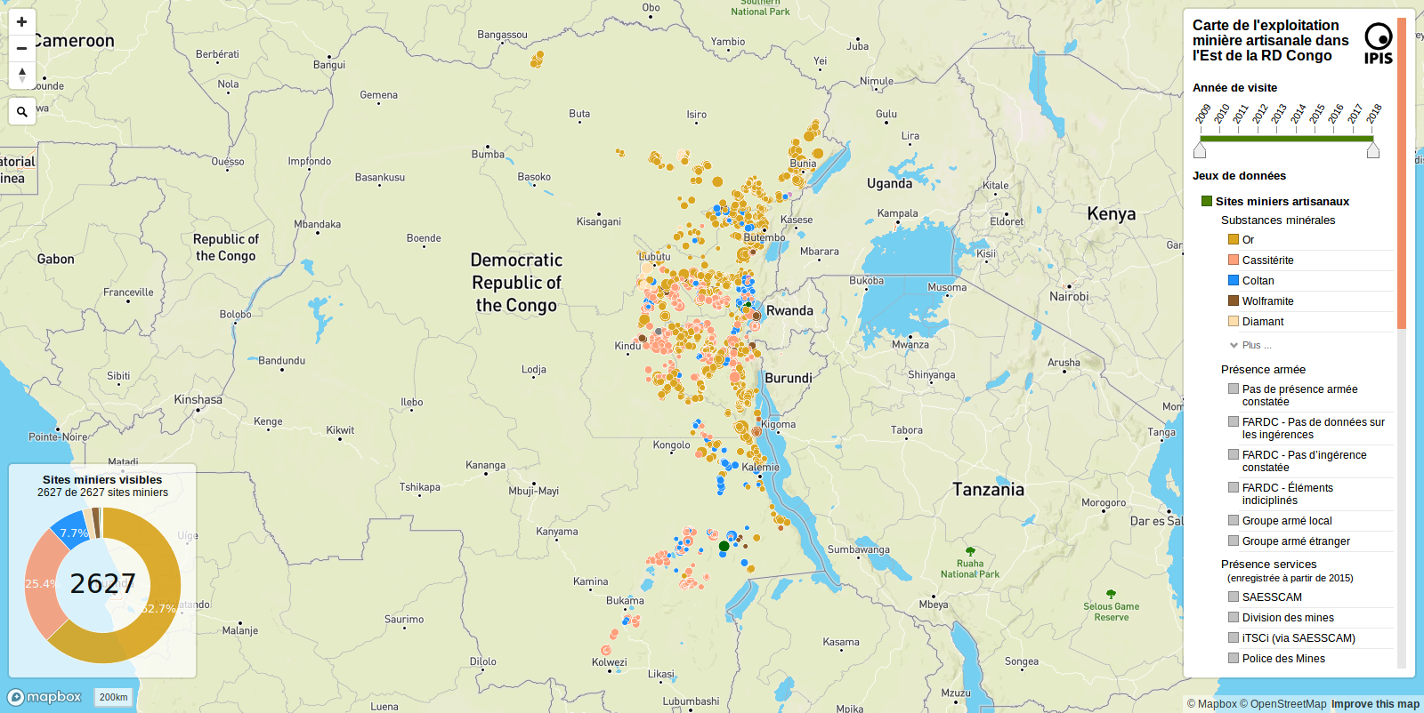
IPIS’ten küçük ölçekli madencilik saha verileri
IPIS: International Peace Information Service
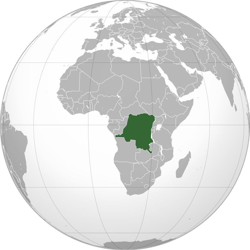
Görsel: Connormah, CC BY-SA 3.0, Wikimedia Commons üzerinden
IPIS’ten küçük ölçekli madencilik saha verileri
IPIS: International Peace Information Service
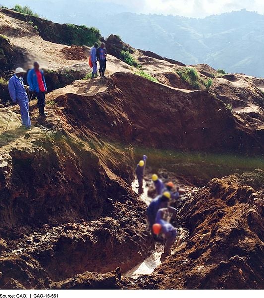 Görsel: G.A.O, kamu malı, Wikimedia Commons üzerinden