Konumsal verileri ve özniteliklerini keşfetme ve görselleştirme

Python ile Coğrafi Verilerle Çalışma

Joris Van den Bossche

Open source software developer and teacher, GeoPandas maintainer

Veri filtreleme

countries.head()
          name      continent       gdp                            geometry
0  Afghanistan           Asia   64080.0  POLYGON ((61.21 35.65, 62.23 35...
1       Angola         Africa  189000.0  MULTIPOLYGON (((23.90 -11.72, 2...
...
countries['continent'] == 'Africa'
0      False
1       True
         ...  
175     True
176     True
Name: continent, Length: 177, dtype: bool
Python ile Coğrafi Verilerle Çalışma

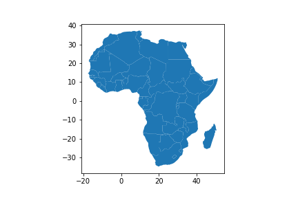
Veri filtreleme

countries_africa = countries[countries['continent'] == 'Africa']
countries_africa.plot()
Python ile Coğrafi Verilerle Çalışma

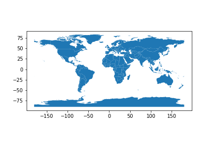
Konumsal veriyi görselleştirme

countries.plot()
Python ile Coğrafi Verilerle Çalışma

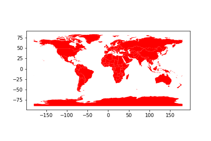
Renk ayarı: tekdüze renk

countries.plot(color="red")
Python ile Coğrafi Verilerle Çalışma

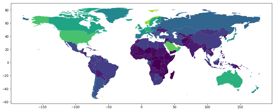
Renk ayarı: öznitelik değerlerine göre

countries.plot(column='gdp_per_cap')
Python ile Coğrafi Verilerle Çalışma

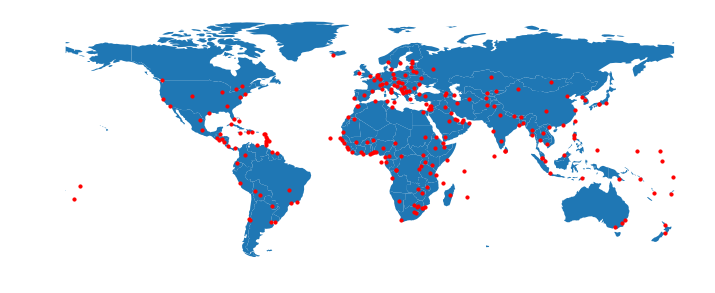
Çok katmanlı grafik

fig, ax = plt.subplots(figsize=(12, 6))
countries.plot(ax=ax)
cities.plot(ax=ax, color='red', markersize=10)
ax.set_axis_off()
Python ile Coğrafi Verilerle Çalışma

Hadi pratik yapalım!

Python ile Coğrafi Verilerle Çalışma

Preparing Video For Download...