Mekânsal veri kümelerini bindirme

Python ile Coğrafi Verilerle Çalışma

Joris Van den Bossche

Open source software developer and teacher, GeoPandas maintainer

Bir çokgenle kesişim
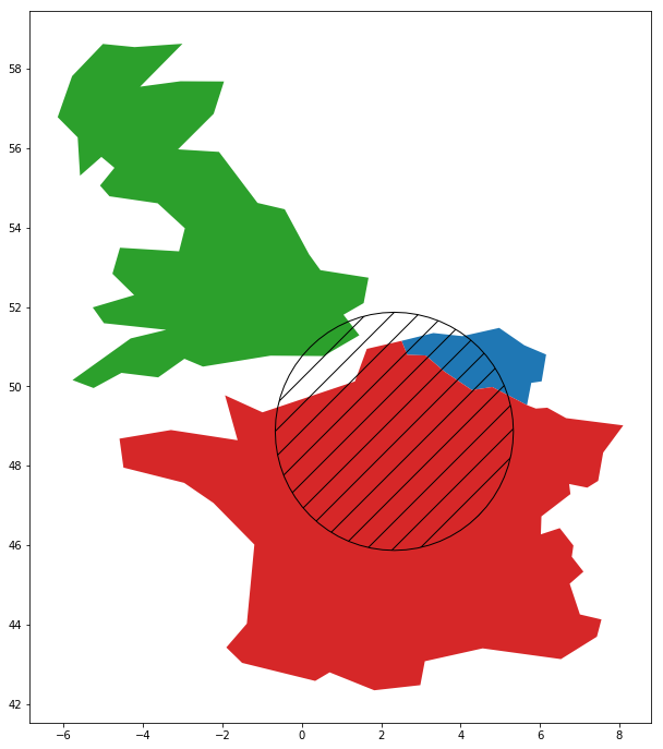
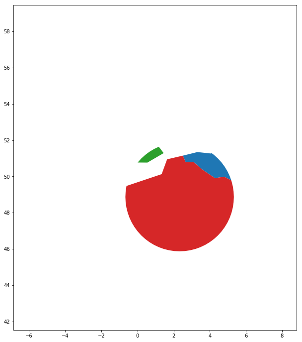
countries.intersection(circle)
Python ile Coğrafi Verilerle Çalışma

Bir çokgenle kesişim

countries.intersection(circle) sınırlamaları:

  • Yalnızca bir çokgenle GeoSeries kesiştirir
  • Öznitelik bilgilerini korumaz
Python ile Coğrafi Verilerle Çalışma

İki veri kümesini bindirme

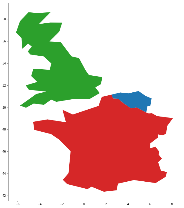
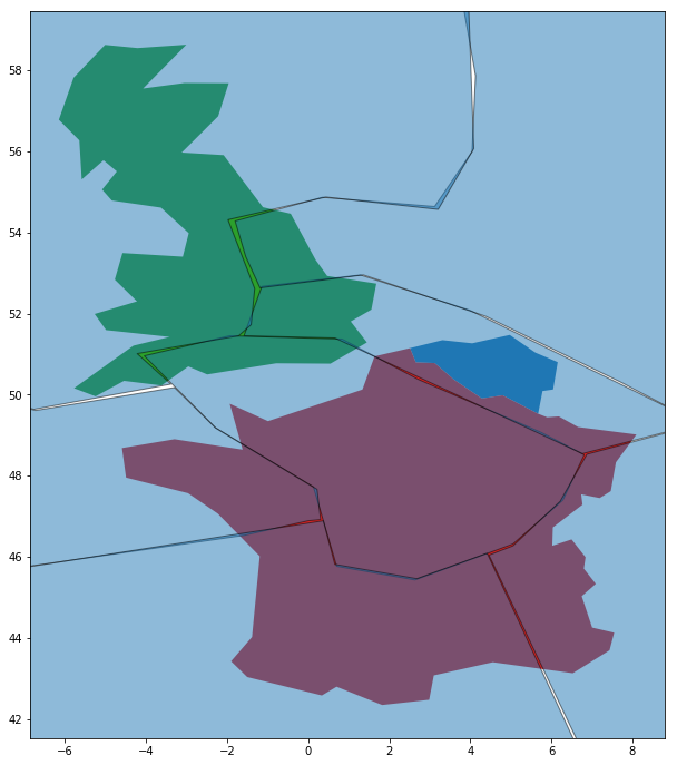
countries.plot()
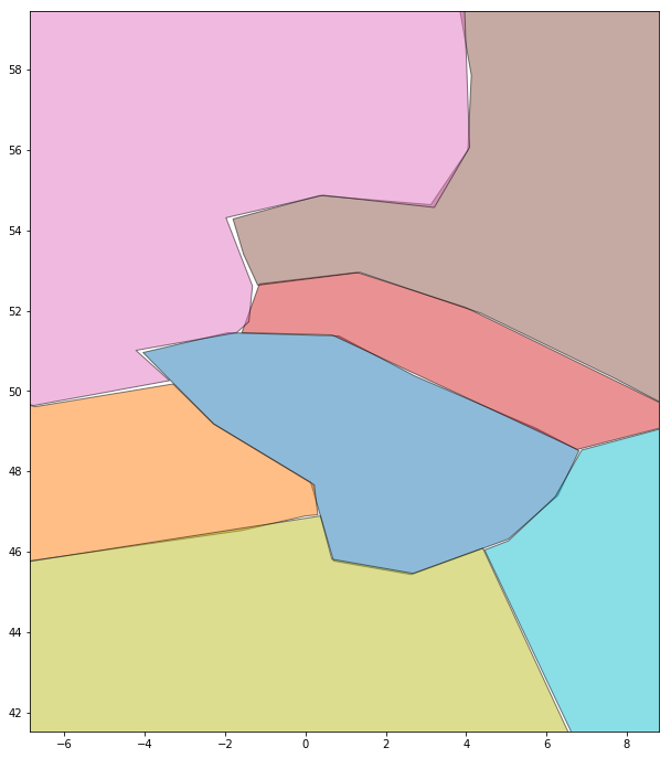
geologic_regions.plot()
Python ile Coğrafi Verilerle Çalışma

İki veri kümesini bindirme

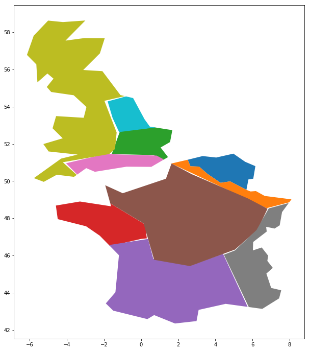
geopandas.overlay(countries, geologic_regions, 
                  how='intersection')
Python ile Coğrafi Verilerle Çalışma

Bindirme vs. kesişim

Kesişim yöntemi (tek çokgenle)

countries.intersection(geologic_region_A)
0                            ()
1    POLYGON ((-1.661 48.803...
2    POLYGON ((1.201 51.145,...
dtype: object

Bindirme yöntemi

geopandas.overlay(countries, geologic_regions,
                  how='intersection')
     name geologic_region              geometry
1  France               C  POLYGON ((2.5 51....
2      UK               C  POLYGON ((0.7 52 ...
3  France               B  POLYGON ((-1.7 46...
..    ...             ...                   ...
Python ile Coğrafi Verilerle Çalışma

Hadi pratik yapalım!

Python ile Coğrafi Verilerle Çalışma

Preparing Video For Download...