Je data in kaart brengen

Introductie tot Tableau

Sara Billen

Curriculum Manager at DataCamp

Wat zijn geografische data?

geografische data

Introductie tot Tableau

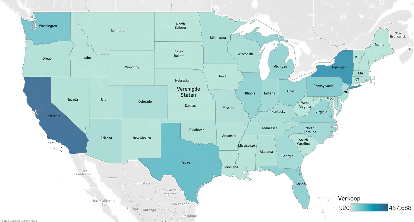
Gevulde kaart

Introductie tot Tableau

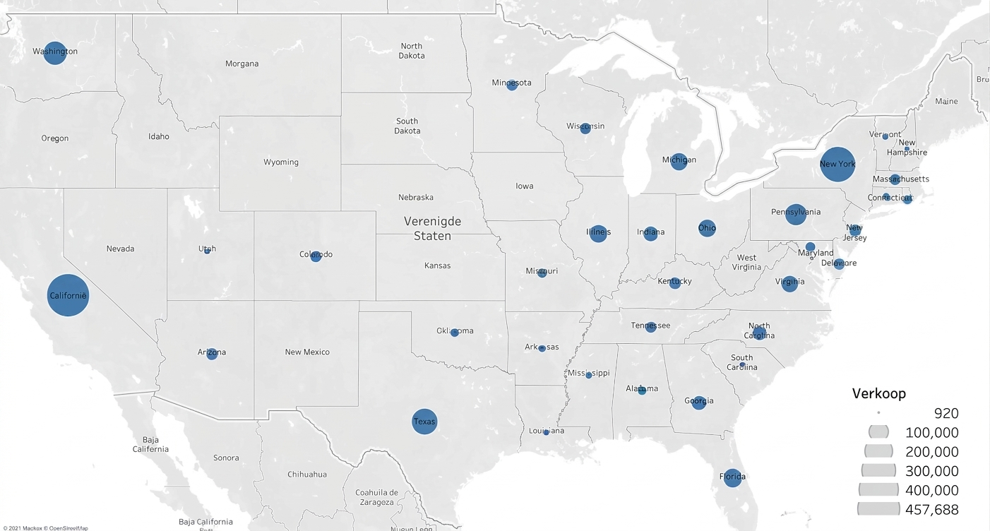
Symboolkaarten

Introductie tot Tableau

Herkende geografische typen

  • Automatisch coördinaten toewijzen aan:
    • VS-netnummers
    • Steden wereldwijd
    • Congresdistricten VS
    • Landen/regio's wereldwijd
    • Counties VS
    • Staten/provincies wereldwijd
    • Postcodes
  • Geocodering
  • Wereldbolpictogram
1 https://help.tableau.com/current/pro/desktop/en-us/maps_geographicroles.htm
Introductie tot Tableau

Data

Introductie tot Tableau

Businessvraag

Wat was de bevolkingsgroei van het land met de hoogste bevolking in 2008?

Introductie tot Tableau

Tijd voor een demo!

Introductie tot Tableau

Preparing Video For Download...