Menggabungkan (overlay) dataset spasial
Bekerja dengan Data Geospasial di Python

Joris Van den Bossche
Open source software developer and teacher, GeoPandas maintainer
Intersection dengan poligon
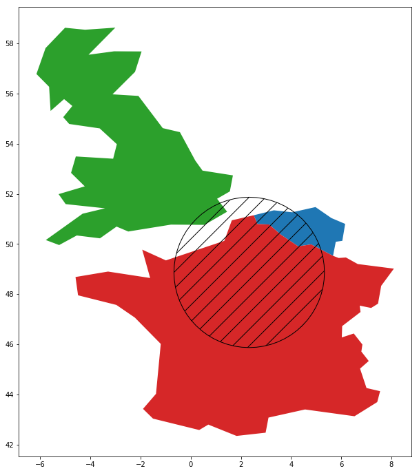
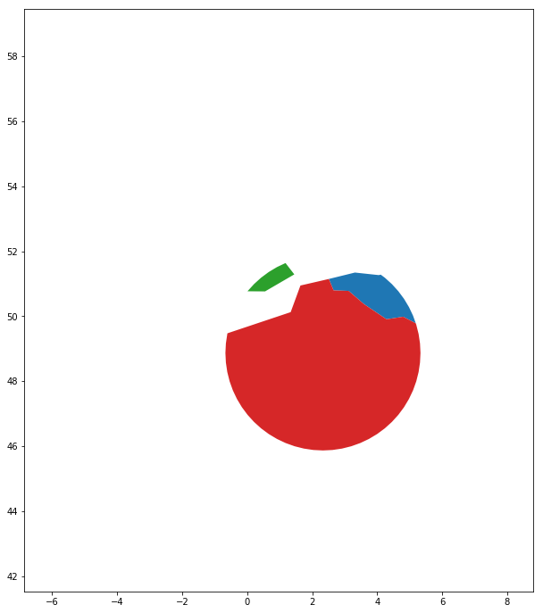
countries.intersection(circle)
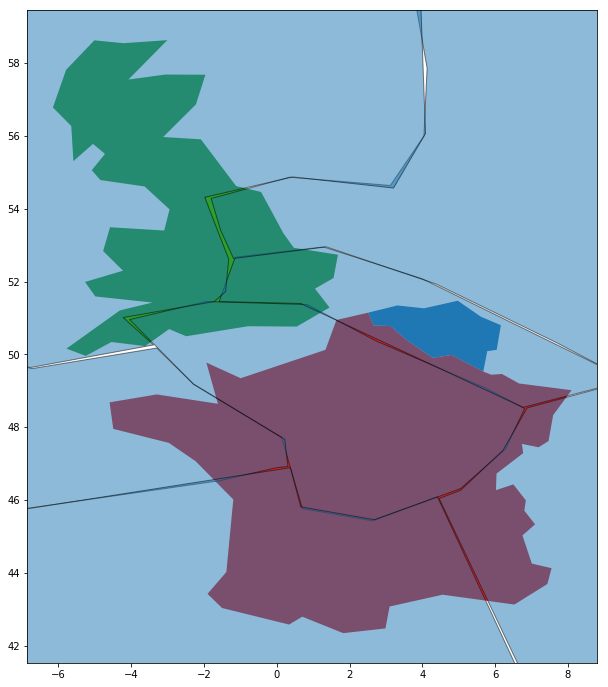
Menggabungkan dua dataset
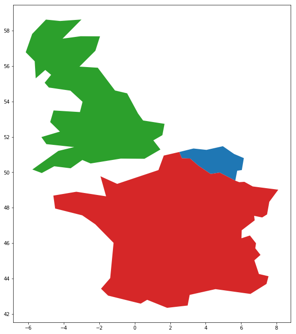
countries.plot()
geologic_regions.plot()
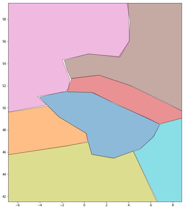
Menggabungkan dua dataset
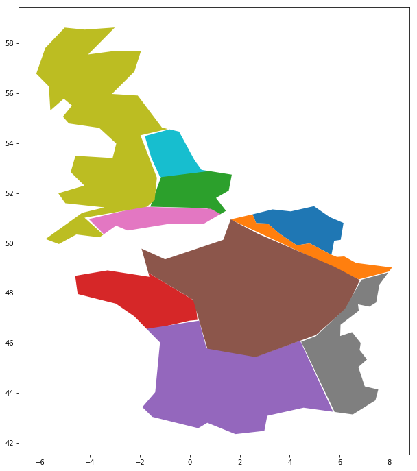
geopandas.overlay(countries, geologic_regions,
                  how='intersection')

