Sistem Referensi Koordinat
Bekerja dengan Data Geospasial di Python

Joris Van den Bossche
Open source software developer and teacher, GeoPandas maintainer
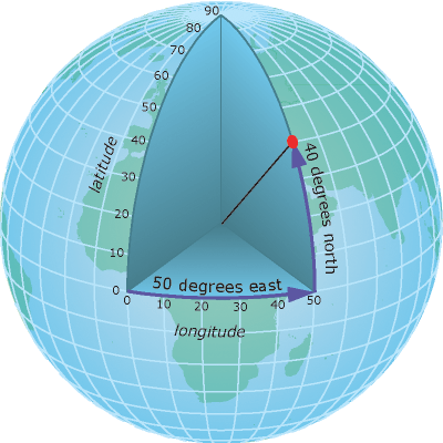
Koordinat geografis
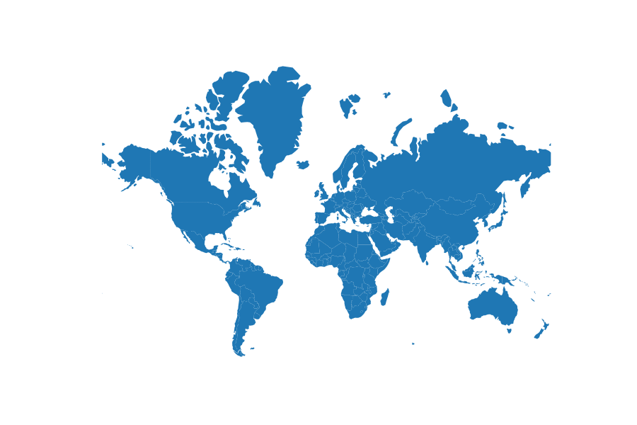
Peta itu 2D
Koordinat terproyeksi
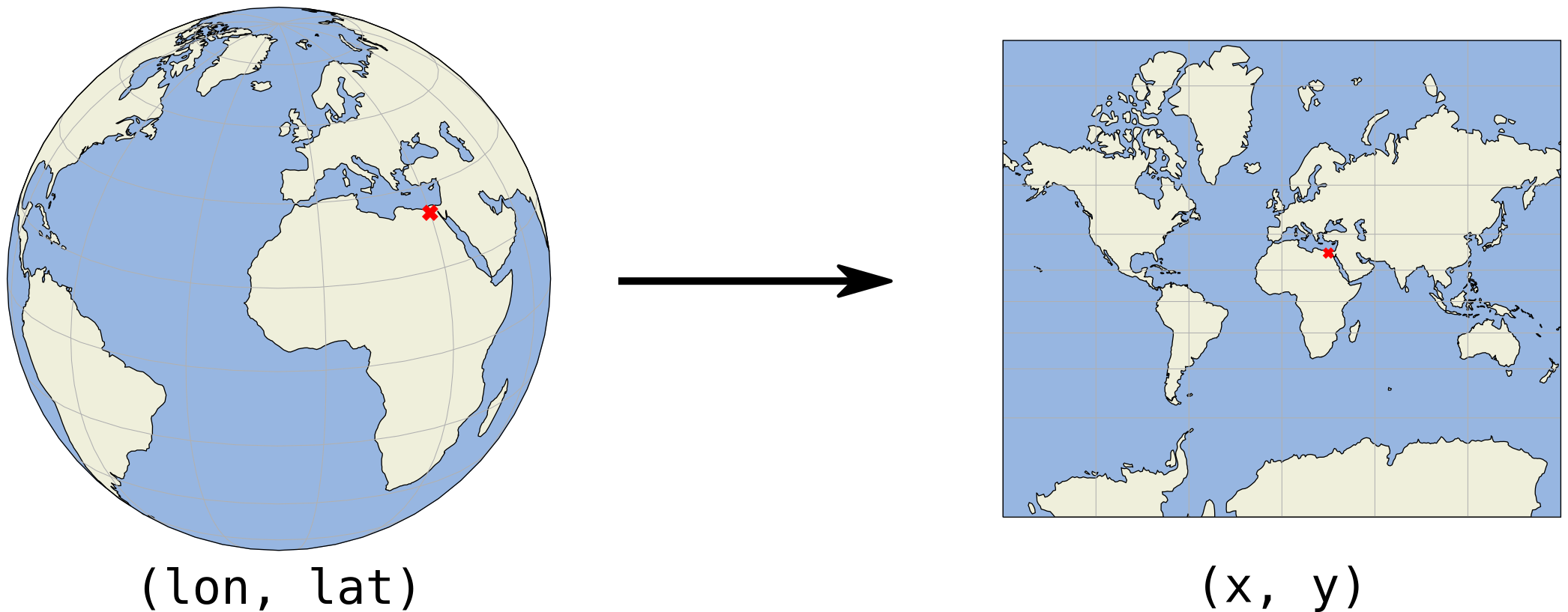
Koordinat (x, y) biasanya dalam meter atau kaki
Koordinat terproyeksi - Contoh
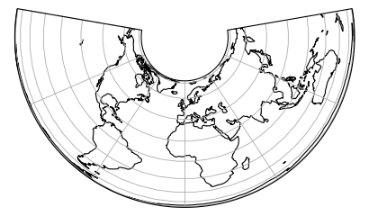
Proyeksi Albers Equal Area
Koordinat terproyeksi - Contoh
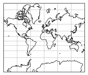
Proyeksi Mercator
Koordinat terproyeksi - Contoh
Ukuran terproyeksi vs ukuran nyata (proyeksi Mercator)