Python으로 지리공간 데이터 다루기
Joris Van den Bossche
Open source software developer and teacher, GeoPandas maintainer
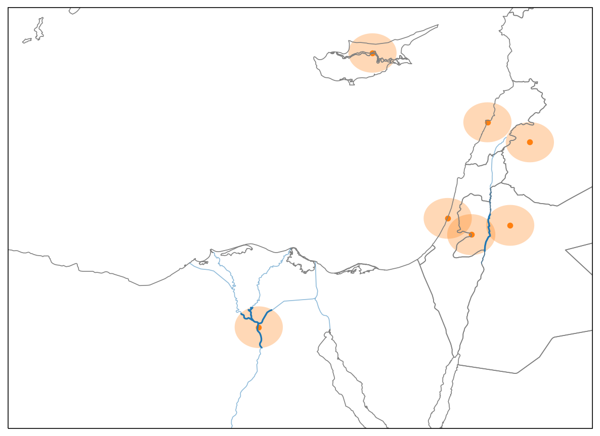
단일 포인트(cairo)에 대해:
cairo
area = cairo.buffer(50000)

rivers_within_area = rivers.intersection(area)

print(rivers_within_area.length.sum() / 1000)
area = cairo.buffer(50000)
rivers_within_area = rivers.intersection(area)
print(rivers_within_area.length.sum() / 1000)
186.397219642
Series.apply(): 시리즈의 각 값에 함수를 호출
Series.apply()
Series.apply(function, **kwargs)
function
**kwargs
GeoSeries의 경우, 각 geom에 대해 function(geom, **kwargs)로 호출됨
GeoSeries
geom
function(geom, **kwargs)
적용할 함수:
def river_length(geom, rivers):
    area = geom.buffer(50000)
    rivers_within_area = rivers.intersection(area)
    return rivers_within_area.length.sum() / 1000
단일 지오메트리에 호출:
river_length(cairo, rivers=rivers)
186.3972196423455
모든 도시에 적용:
cities.geometry.apply(river_length, rivers=rivers)
0        0.000000
1        0.000000
2      106.072198
          ...
모든 도시에 적용하고 결과를 새 열에 저장:
cities['river_length'] = cities.geometry.apply(river_length, rivers=rivers)
cities.head()
             name                       geometry  river_length
0    Vatican City    POINT (1386304.6 5146502.5)      0.000000
1      San Marino    POINT (1385011.5 5455558.1)      0.000000
2           Vaduz    POINT (1059390.7 5963928.5)    106.072198
..            ...                            ...           ...