座標参照系 (CRS)
Pythonで扱う地理空間データ

Joris Van den Bossche
Open source software developer and teacher, GeoPandas maintainer
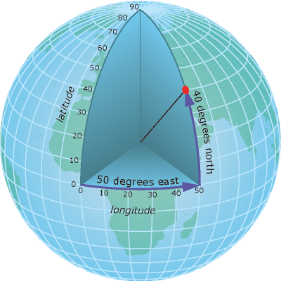
地理座標
地図は2D
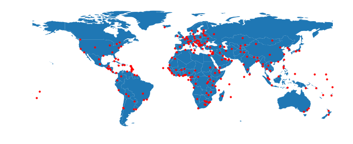
投影座標
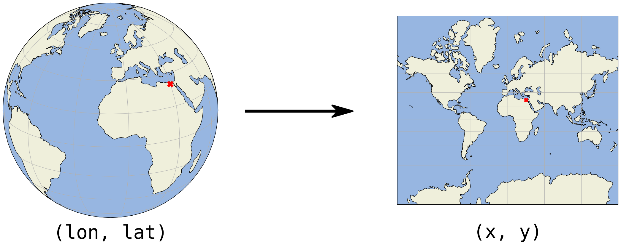
(x, y) 座標は通常メートルまたはフィート
投影座標の例
アルバーズ等面積図法
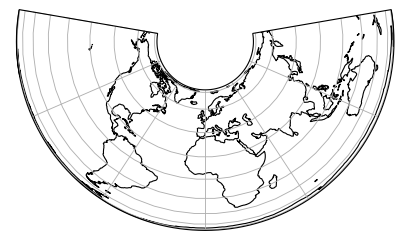
投影座標の例
メルカトル図法
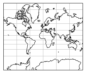
投影座標の例
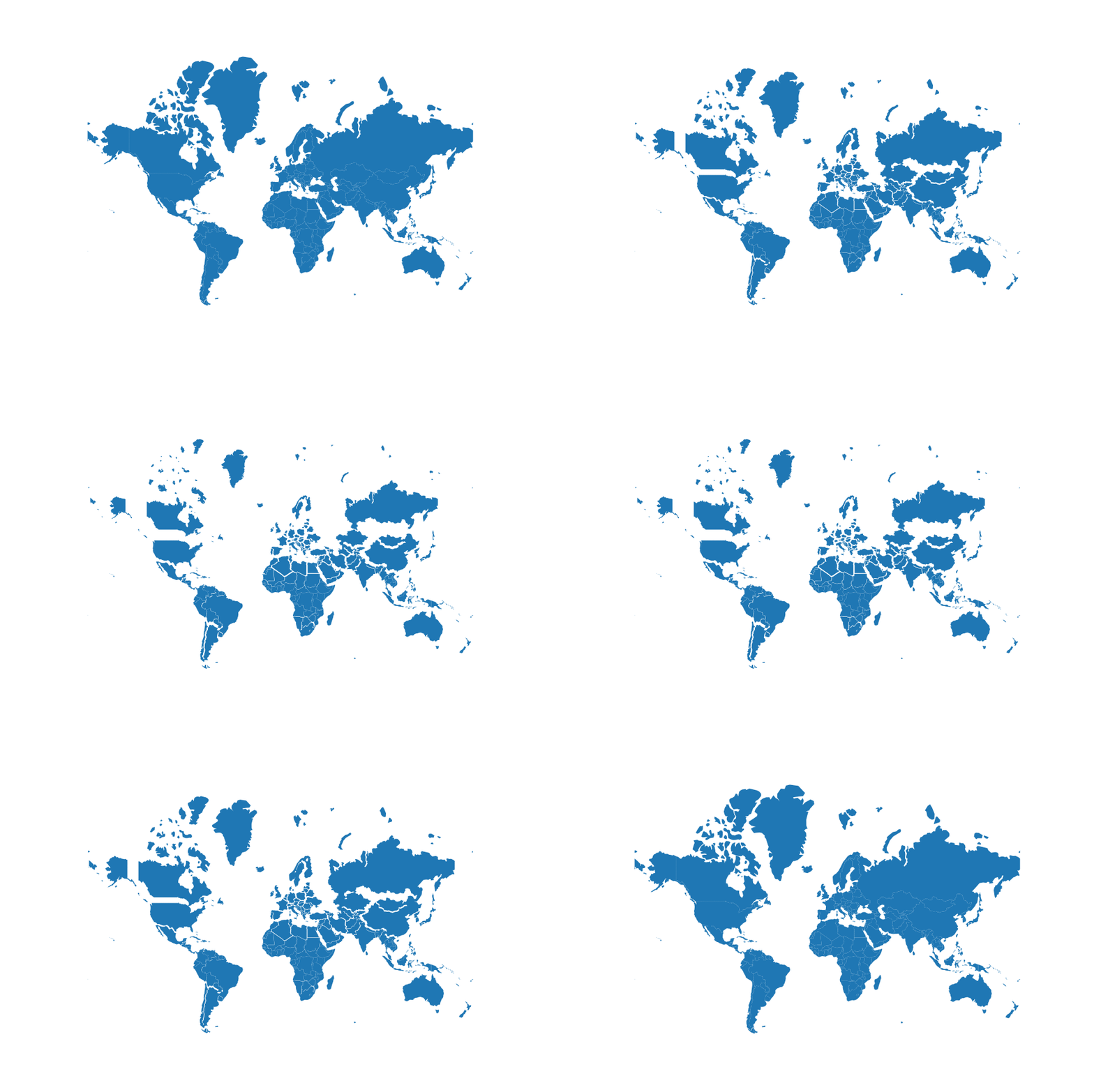
投影サイズと実際のサイズ(メルカトル図法)
Pythonで扱う地理空間データ
Joris Van den Bossche
Open source software developer and teacher, GeoPandas maintainer
(x, y) 座標は通常メートルまたはフィート
アルバーズ等面積図法
メルカトル図法
投影サイズと実際のサイズ(メルカトル図法)

