Pythonで扱う地理空間データ
Joris Van den Bossche
Open source software developer and teacher, GeoPandas maintainer

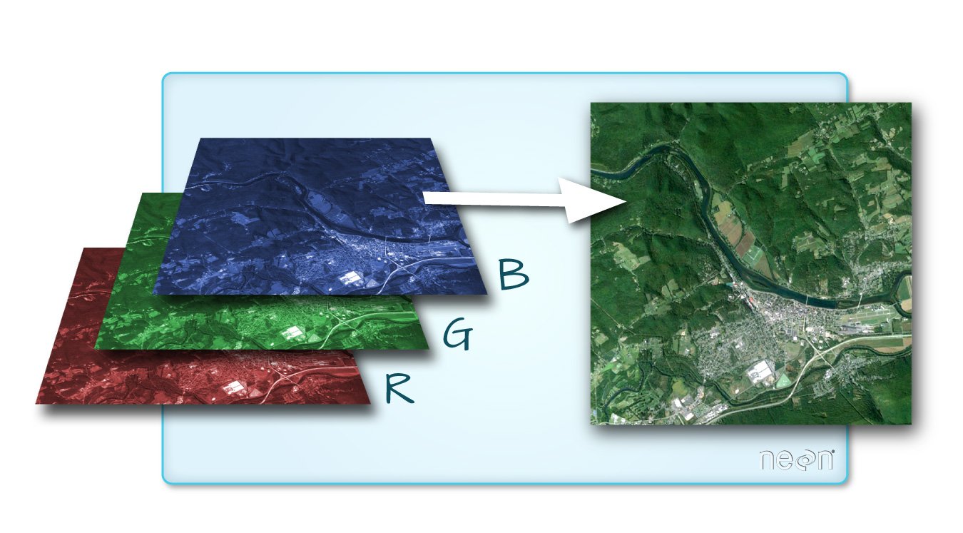
画像出典: QGIS ドキュメント


import rasterio
import rasterio
src = rasterio.open("DEM_world.tif")
メタデータ:
src.count
1
src.width, src.height
(4320, 2160)
array = src.read()
標準のnumpy配列:
array
array([[[-4290, -4290, -4290, ..., -4290, -4290, -4290],
[-4278, -4278, -4278, ..., -4278, -4278, -4278],
[-4269, -4269, -4269, ..., -4269, -4269, -4269],
...,
[ 2804, 2804, 2804, ..., 2804, 2804, 2804],
[ 2804, 2804, 2804, ..., 2804, 2804, 2804],
[ 2804, 2804, 2804, ..., 2804, 2804, 2804]]], dtype=int16)
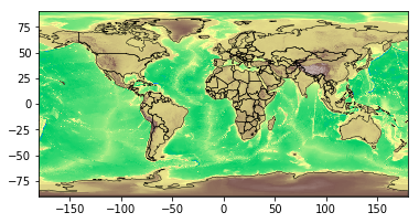
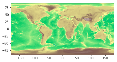
rasterio.plot.show()を使用:
import rasterio.plot
rasterio.plot.show(src, cmap='terrain')

rasterstats: ベクター形状に基づき、地理空間ラスターデータの要約統計を算出 (https://github.com/perrygeo/python-rasterstats)
ポイントベクター:
rasterstats.point_query(geometries, "path/to/raster",
interpolation='nearest'|'bilinear')
ポリゴンベクター:
rasterstats.zonal_stats(geometries, "path/to/raster",
stats=['min', 'mean', 'max'])
result = rasterstats.zonal_stats(countries.geometry, "DEM_gworld.tif", stats=['mean'])countries['mean_elevation'] = pd.DataFrame(result)countries.sort_values('mean_elevation', ascending=False).head()
name continent geometry mean_elevation
157 Tajikistan Asia POLYGON ((74.98 37.41, ... 3103.231105
85 Kyrgyzstan Asia POLYGON ((80.25 42.34, ... 2867.717142
24 Bhutan Asia POLYGON ((91.69 27.77, ... 2573.559846
119 Nepal Asia POLYGON ((81.11 30.18, ... 2408.907816
6 Antarctica Antarctica (POLYGON ((-59.57 -80.04... 2374.075028
.. ... ... ... ...
Pythonで扱う地理空間データ