แนะนำชุดข้อมูล

การทำงานกับข้อมูลเชิงพื้นที่ใน Python

Joris Van den Bossche

Open source software developer and teacher, GeoPandas maintainer

ข้อมูลแหล่งขุดแร่แบบช่างฝีมือจาก IPIS

IPIS: International Peace Information Service
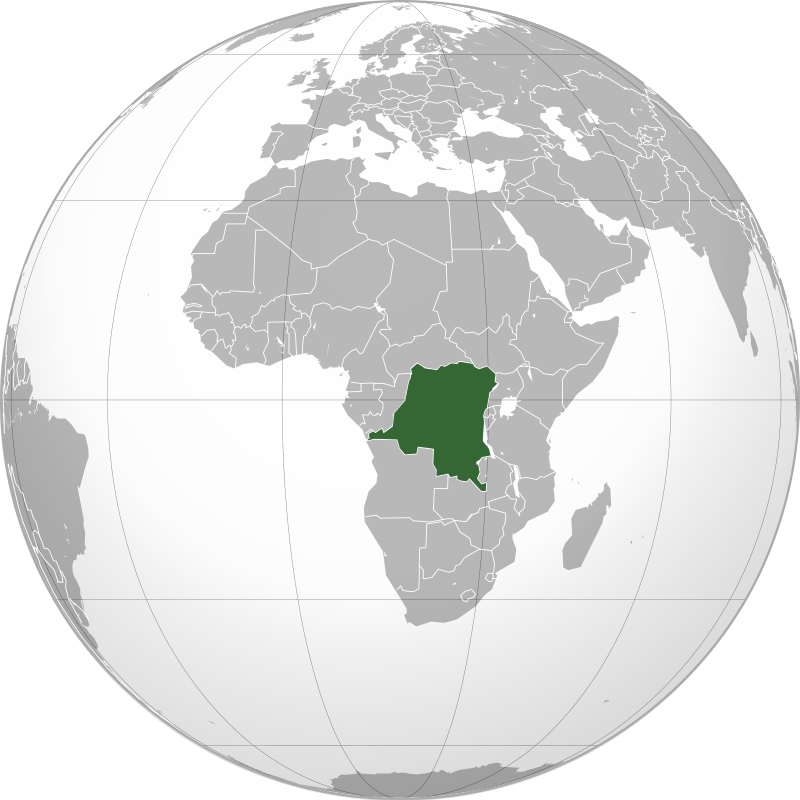
Image: Connormah, CC BY-SA 3.0, from Wikimedia Commons

การทำงานกับข้อมูลเชิงพื้นที่ใน Python

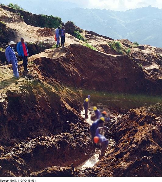
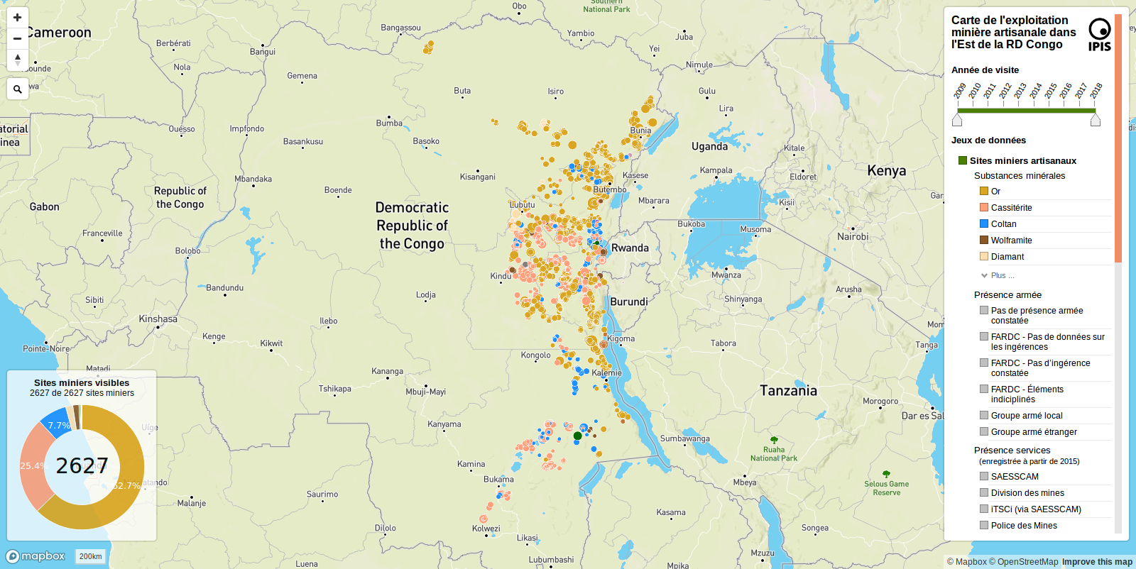
ข้อมูลแหล่งขุดแร่แบบช่างฝีมือจาก IPIS

IPIS: International Peace Information Service Image: G.A.O, public domain, from Wikimedia Commons
การทำงานกับข้อมูลเชิงพื้นที่ใน Python

ข้อมูลแหล่งขุดแร่แบบช่างฝีมือจาก IPIS

การทำงานกับข้อมูลเชิงพื้นที่ใน Python

รูปแบบไฟล์ภูมิสารสนเทศ

อ่านไฟล์: geopandas.read_file("path/to/file.geojson")

รูปแบบที่รองรับ:

  • ESRI Shapefile
    • "ไฟล์" หนึ่งชุดประกอบด้วยหลายไฟล์! (.shp, .dbf, .shx, .prj, ...)
  • GeoJSON
  • GeoPackage (.gpkg)
  • ...

& ฐานข้อมูล PostGIS!

การทำงานกับข้อมูลเชิงพื้นที่ใน Python

การเขียนไฟล์ภูมิสารสนเทศ

เขียน GeoDataFrame ลงไฟล์ด้วยเมธอด to_file():

# Writing a Shapefile file
geodataframe.to_file("mydata.shp", driver='ESRI Shapefile')

# Writing a GeoJSON file
geodataframe.to_file("mydata.geojson", driver='GeoJSON')

# Writing a GeoPackage file
geodataframe.to_file("mydata.gpkg", driver='GPKG')
การทำงานกับข้อมูลเชิงพื้นที่ใน Python

มาฝึกกันเถอะ!

การทำงานกับข้อมูลเชิงพื้นที่ใน Python

Preparing Video For Download...