การทำงานกับข้อมูลเชิงพื้นที่ใน Python
Joris Van den Bossche
Open source software developer and teacher, GeoPandas maintainer
ตำแหน่งของหอไอเฟล:
POINT (2.2945 48.8584)
→ ระบบอ้างอิงพิกัด (CRS) เชื่อมโยงพิกัดกับตำแหน่งที่ระบุบนโลก

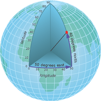
องศาของละติจูดและลองจิจูด
เช่น 48°51′N, 2°17′E
ใช้ใน GPS และแอปแผนที่บนเว็บ...
ข้อควรระวัง!
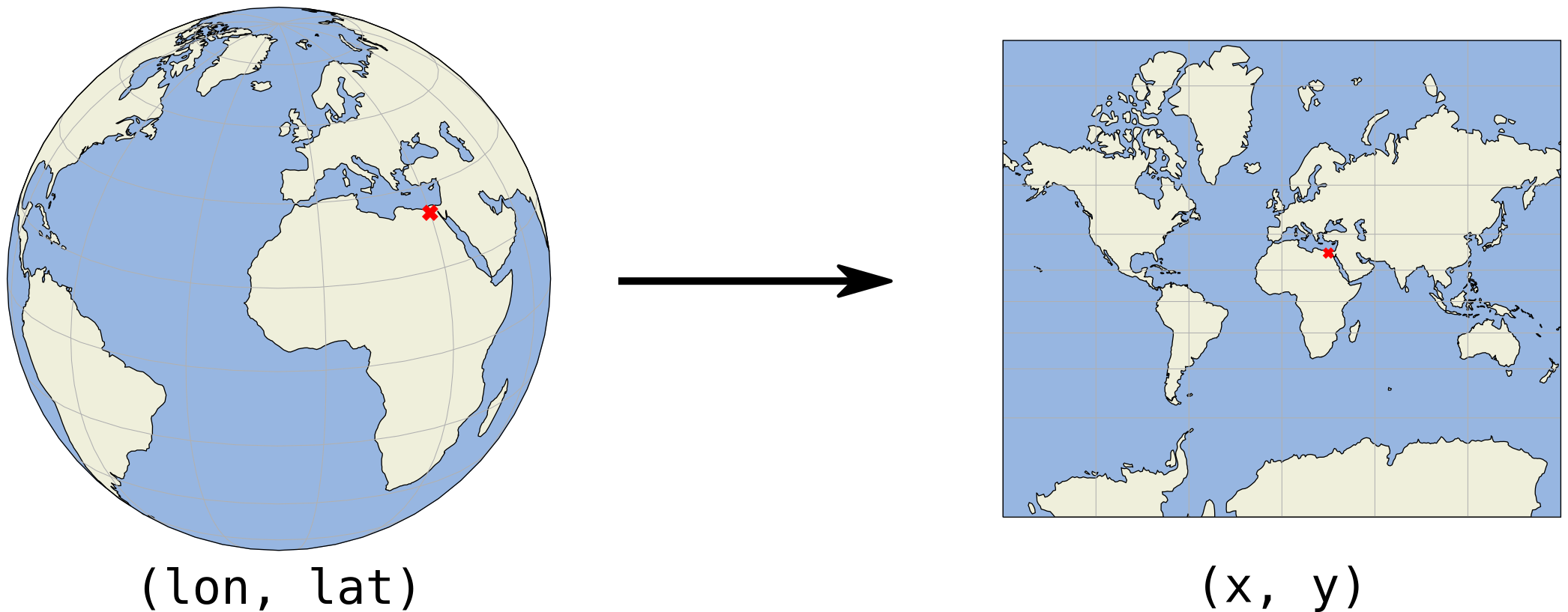
ใน Python ใช้ (lon, lat) ไม่ใช่ (lat, long)


พิกัด (x, y) มักมีหน่วยเป็นเมตรหรือฟุต
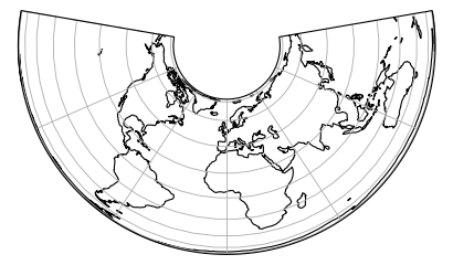
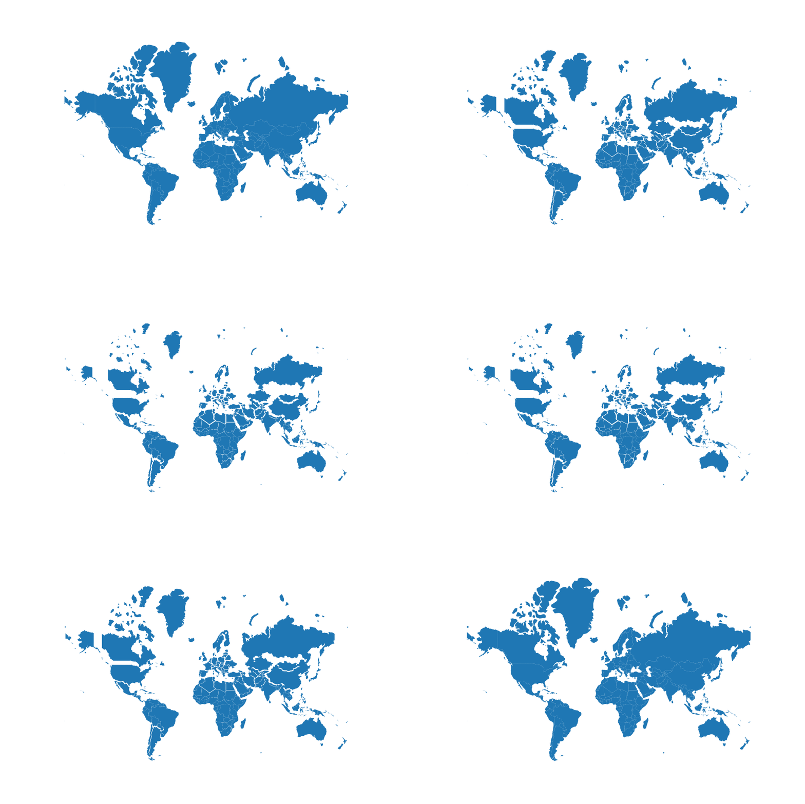
การฉายภาพ Albers Equal Area

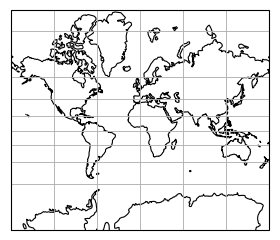
การฉายภาพ Mercator

ขนาดที่ฉายภาพ vs ขนาดจริง (การฉายภาพ Mercator)
proj4 string
ตัวอย่าง: +proj=longlat +datum=WGS84 +no_defs
การแทนด้วย Dict:
{'proj': 'longlat', 'datum': 'WGS84', 'no_defs': True}
EPSG code
ตัวอย่าง:
EPSG:4326 = WGS84 geographic CRS (longitude, latitude)
แอตทริบิวต์ .crs ของ GeoDataFrame/GeoSeries:
import geopandas
gdf = geopandas.read_file("countries.shp")
print(gdf.crs)
{'init': 'epsg:4326'}
.crsการทำงานกับข้อมูลเชิงพื้นที่ใน Python