Folium ile çalışmak

Python ile Coğrafi Verileri Görselleştirme

Mary van Valkenburg

Data Science Program Manager, Nashville Software School
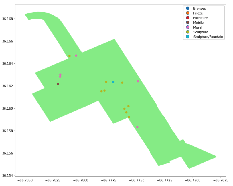
açık yeşil çokgen ve sanat konum noktaları grafiği

Python ile Coğrafi Verileri Görselleştirme

Folium

  • Python paketi
  • etkileşimli haritalar
  • Leaflet.js üzerine kurulu

folium yaprak logosu

Python ile Coğrafi Verileri Görselleştirme

folium.Map()

import folium
# construct a map centered at the Eiffel Tower
eiffel_tower = folium.Map(location = [48.8583736,2.2922926])

# display the map
display(eiffel_tower)
Python ile Coğrafi Verileri Görselleştirme

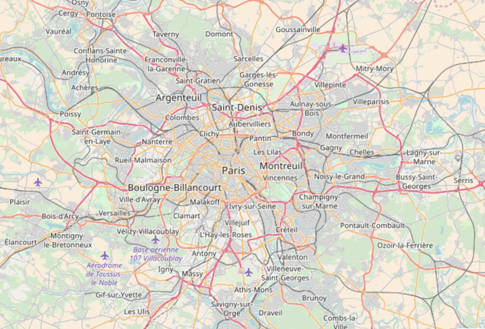
paris sokak haritası

Python ile Coğrafi Verileri Görselleştirme

Yakınlaştırma düzeyini ayarlama

import folium
# construct a map centered at the Eiffel Tower
eiffel_tower = folium.Map([location = 48.8583736,2.2922926], zoom_start = 12)

# display the map
display(eiffel_tower)
Python ile Coğrafi Verileri Görselleştirme

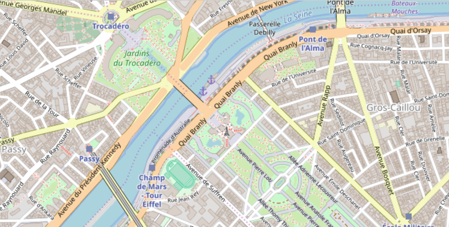
küçük eyfel kulesiyle yakınlaştırılmış Paris sokak haritası

Python ile Coğrafi Verileri Görselleştirme

Merkezden Folium konumu

district_one.head()
district  center                   geometry
1         POINT (-86.860 36.262)   (POLYGON ((-86.771 36.383...    
center_point = district_one.center[0]
type(center_point)
<class 'shapely.geometry.point.Point'>
Python ile Coğrafi Verileri Görselleştirme

Merkezden Folium konumu

# reverse the order for folium location array
district_center = [center_point.y, center_point.x]

# print center point and district_center
print(center_point)
print(district_center)
POINT (-86.86086595994405 36.2628221811899)
[36.262822181189904, -86.86086595994405]
Python ile Coğrafi Verileri Görselleştirme

Bir folium haritasına çokgen ekleme

# create a folium map centered on district 1
district1_map = folium.Map(location = district_center)
# add the outline of district one
folium.GeoJson(district_one.geometry).add_to(district1_map)
# display the resulting map
display(district1_map)
Python ile Coğrafi Verileri Görselleştirme

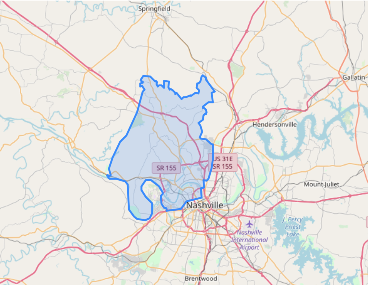
mavi çokgenli harita

Python ile Coğrafi Verileri Görselleştirme

Hadi pratik yapalım!

Python ile Coğrafi Verileri Görselleştirme

Preparing Video For Download...