地圖進階應用-自訂背景

Tableau 的資料視覺化

Agata Bak-Geerinck

Senior Data Analyst, Telenet

空間視覺化-不只地理地圖

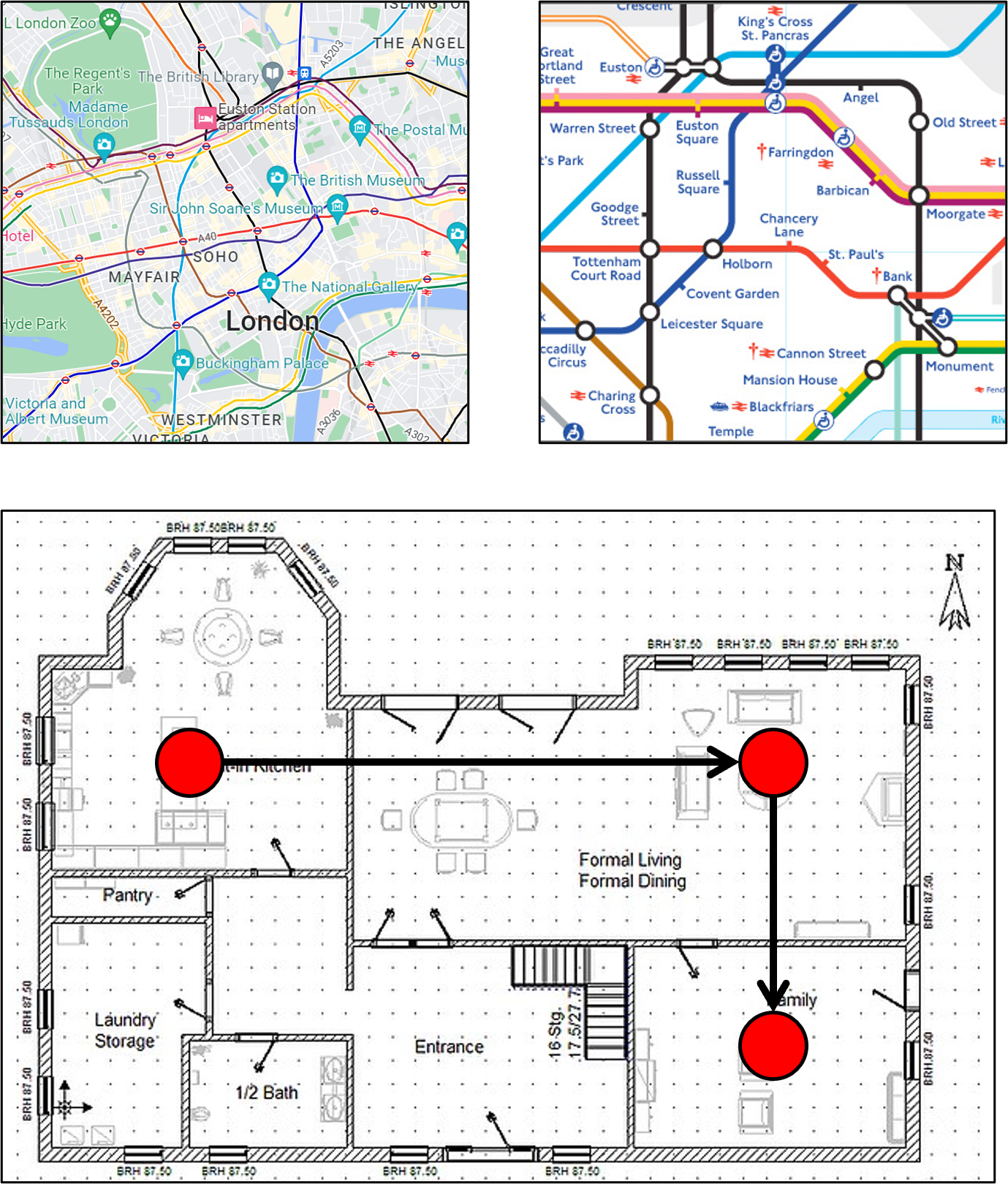
white spacing Sample images of London geo map, London metro map and a plan of a house

  • 自訂/簡化地圖
    • 例:地鐵圖+流量強度
  • 流程分析
    • 例:產線上的產品動線
  • 建物示意圖
    • 例:室內用電配置
  • 點對點路徑
    • 例:自訂地圖上的公路旅行規劃
Tableau 的資料視覺化

緯度、經度、X、Y=座標

white space 座標:

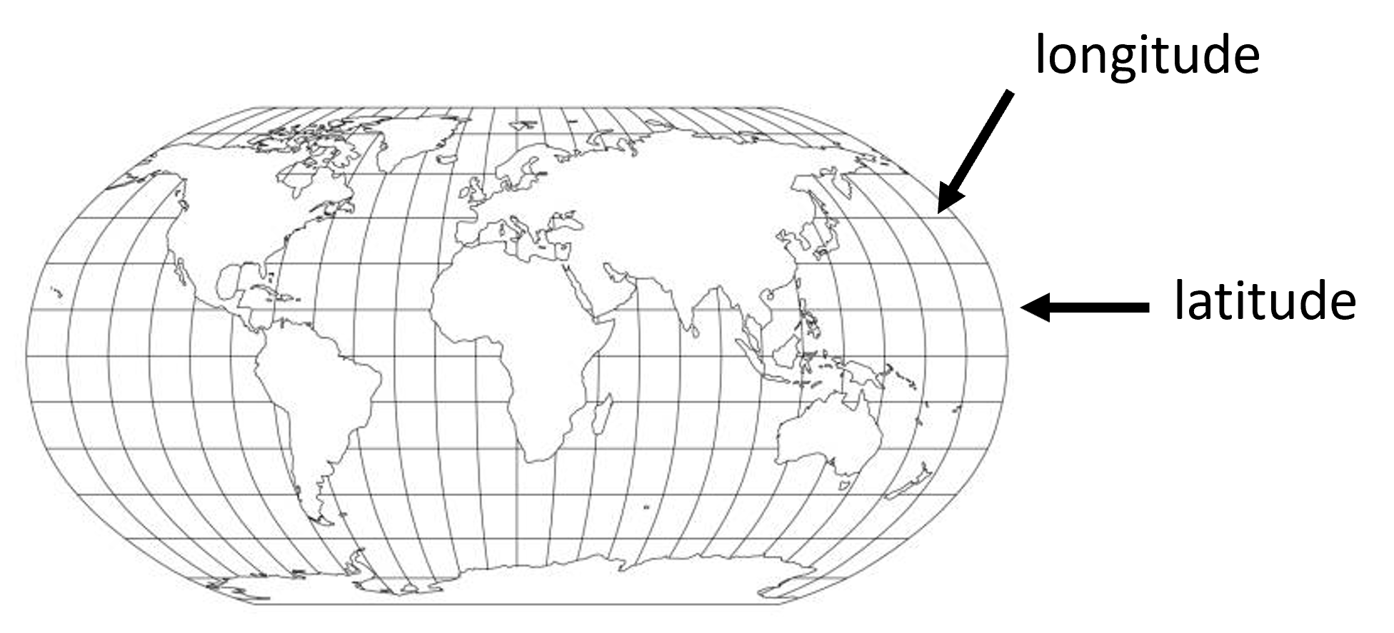
  • 地理網格:緯度與經度:

white space

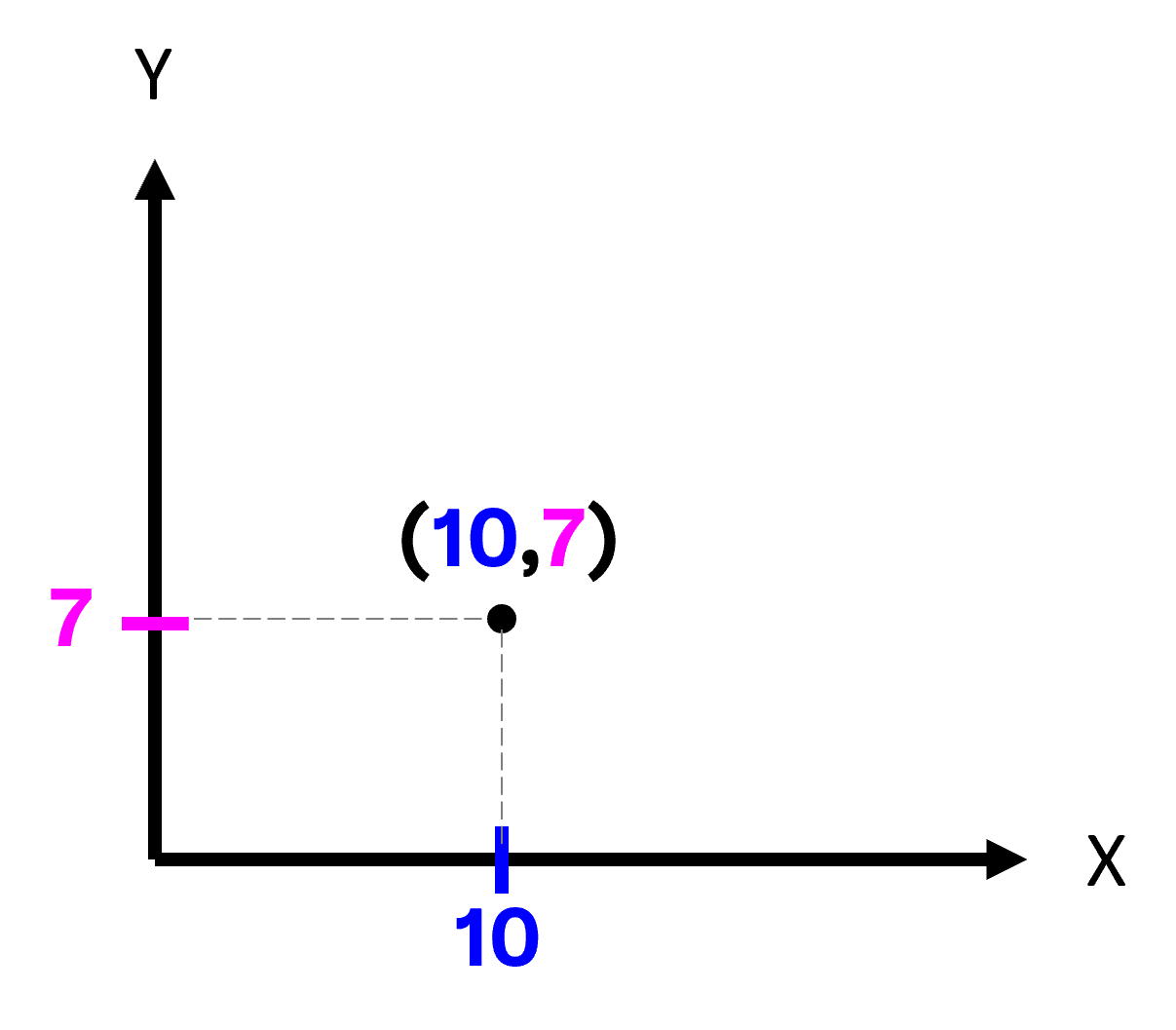
  • 任意網格(2D):X,Y

A 2D globe picture with lat/long grid

A 2D globe picture with  X-Y axes grid

Tableau 的資料視覺化

自訂地圖:點與多邊形

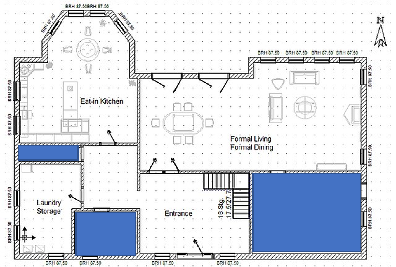
white space 多邊形地圖:

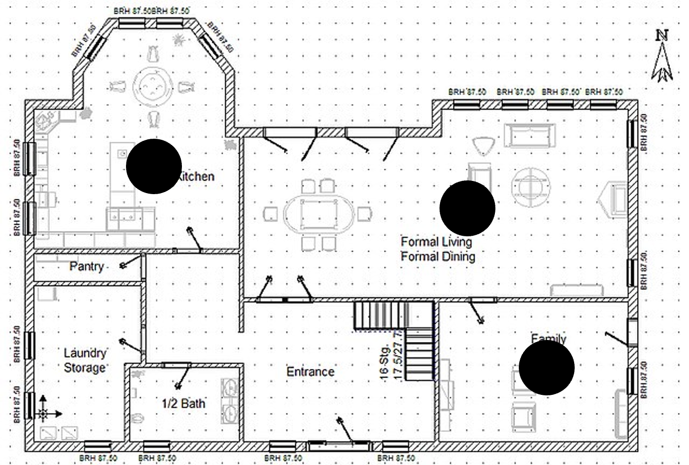
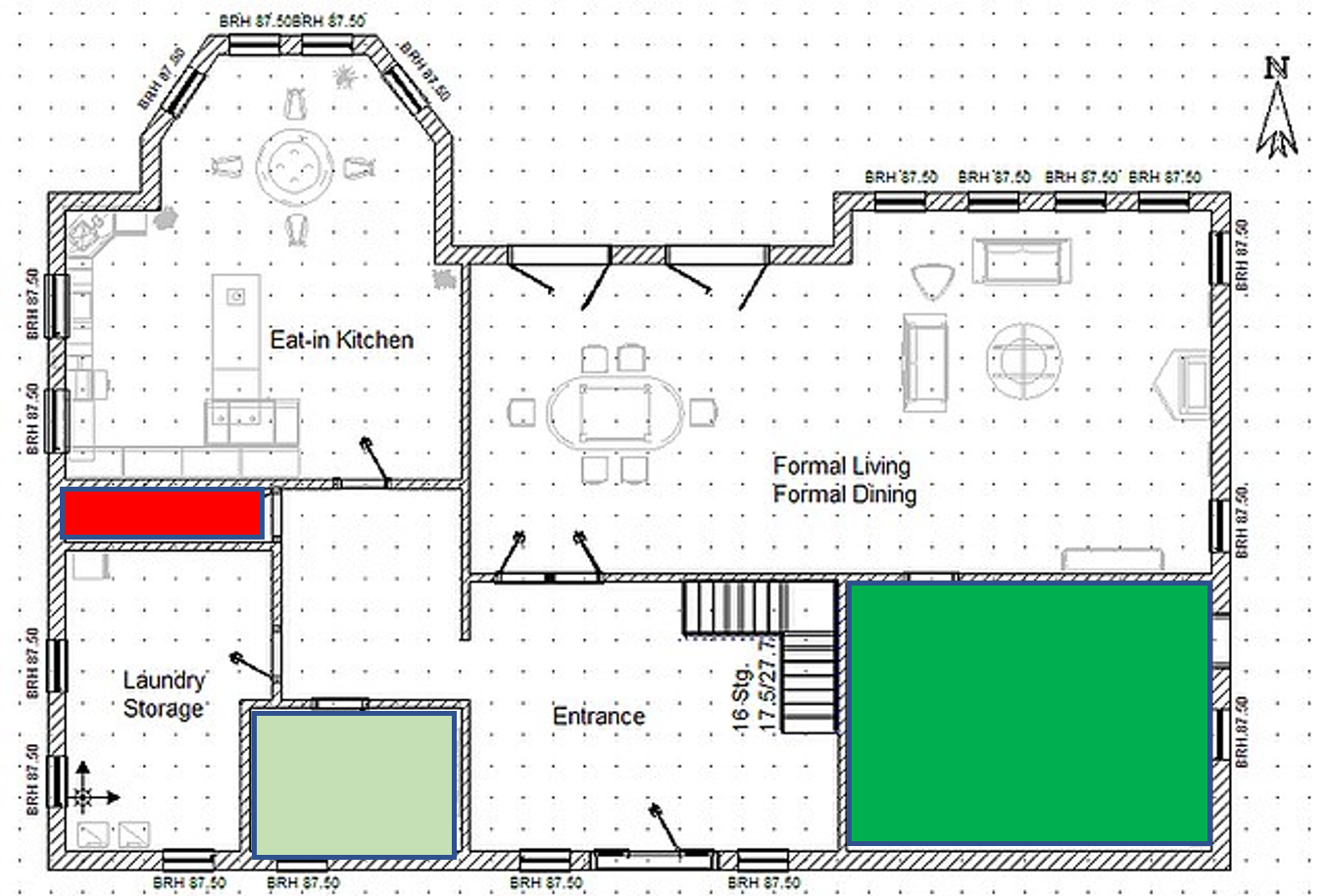
example of a polygon map on a custom background

  • 表示一個區域
    • 需較多資料

white space 點地圖:

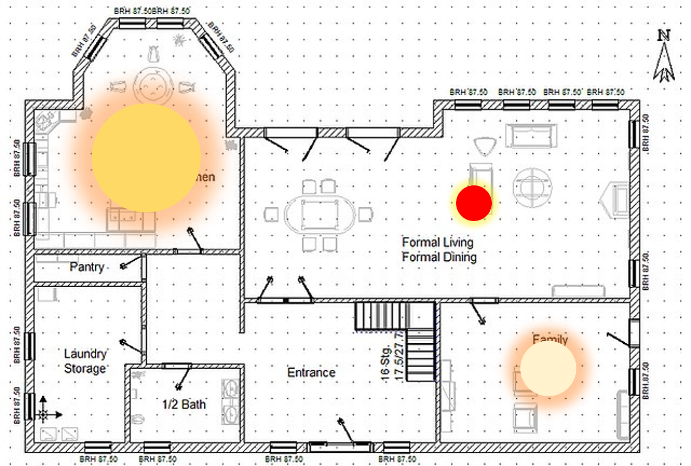
example of a point map on a custom background

  • 特定位置或區域符號
    • 需較少資料
Tableau 的資料視覺化

自訂地圖:點與多邊形

white space 多邊形地圖:

example of a polygon map on a custom background with colors

  • 例:占用情形(每日小時數)

white space 點地圖:

example of a point map on a custom background, size and colors

  • 例:亮度與使用頻率(每日點亮小時)
Tableau 的資料視覺化

自訂地圖資料的視覺化步驟

white space

步驟 1: 載入目標背景圖片。

white space

步驟 2: 標記關注的點/區域,記錄 X-Y 座標,建立位置資料集。

white space

步驟 3: 將座標資料與含維度與事實的其他資料結合。

white space

步驟 4: 視覺化整合後資料,運用色彩、重點標示、註解、動畫等。

Tableau 的資料視覺化

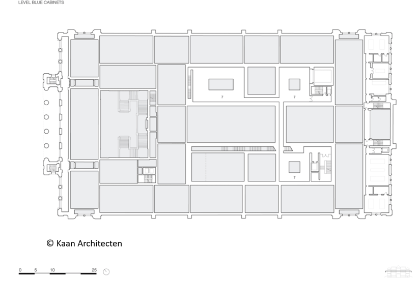
博物館參觀的視覺化

white space

  • 設定自訂背景地圖
  • 視覺化各展區的人流
  • 觀察人流日內變化
  • 呈現建物內主要動線

white space A 2D plan of a museum

Tableau 的資料視覺化

一起來練習吧!

Tableau 的資料視覺化

Preparing Video For Download...