探索與視覺化空間資料及其屬性

在 Python 中處理地理空間資料

Joris Van den Bossche

Open source software developer and teacher, GeoPandas maintainer

篩選資料

countries.head()
          name      continent       gdp                            geometry
0  Afghanistan           Asia   64080.0  POLYGON ((61.21 35.65, 62.23 35...
1       Angola         Africa  189000.0  MULTIPOLYGON (((23.90 -11.72, 2...
...
countries['continent'] == 'Africa'
0      False
1       True
         ...  
175     True
176     True
Name: continent, Length: 177, dtype: bool
在 Python 中處理地理空間資料

篩選資料

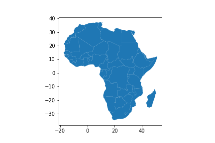
countries_africa = countries[countries['continent'] == 'Africa']
countries_africa.plot()
在 Python 中處理地理空間資料

視覺化空間資料

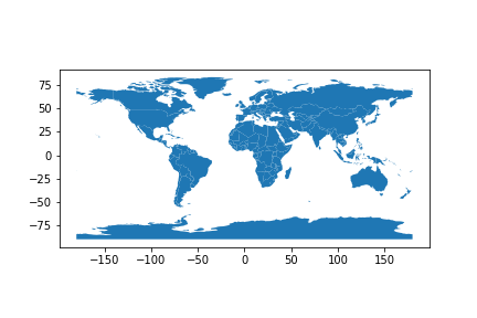
countries.plot()

在 Python 中處理地理空間資料

調整顏色:單一色

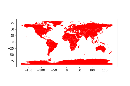
countries.plot(color="red")

在 Python 中處理地理空間資料

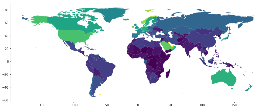
調整顏色:依屬性值

countries.plot(column='gdp_per_cap')
在 Python 中處理地理空間資料

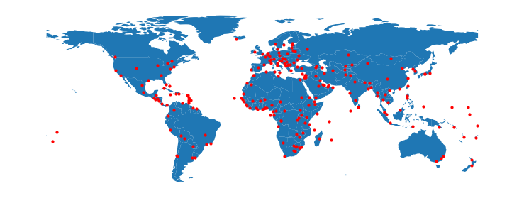
多圖層繪圖

fig, ax = plt.subplots(figsize=(12, 6))
countries.plot(ax=ax)
cities.plot(ax=ax, color='red', markersize=10)
ax.set_axis_off()
在 Python 中處理地理空間資料

一起來練習吧!

在 Python 中處理地理空間資料

Preparing Video For Download...