座標參考系統
在 Python 中處理地理空間資料

Joris Van den Bossche
Open source software developer and teacher, GeoPandas maintainer
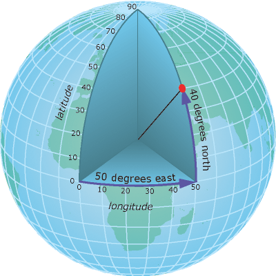
地理座標
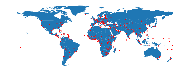
地圖是 2D
投影座標
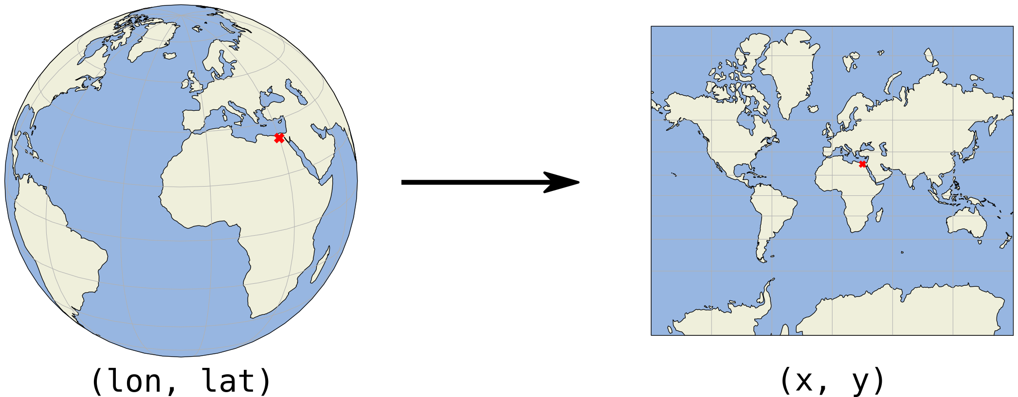
(x, y) 座標通常以公尺或英尺表示
投影座標—範例
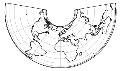
Albers 等積投影
投影座標—範例
墨卡托投影(Mercator)
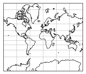
投影座標—範例
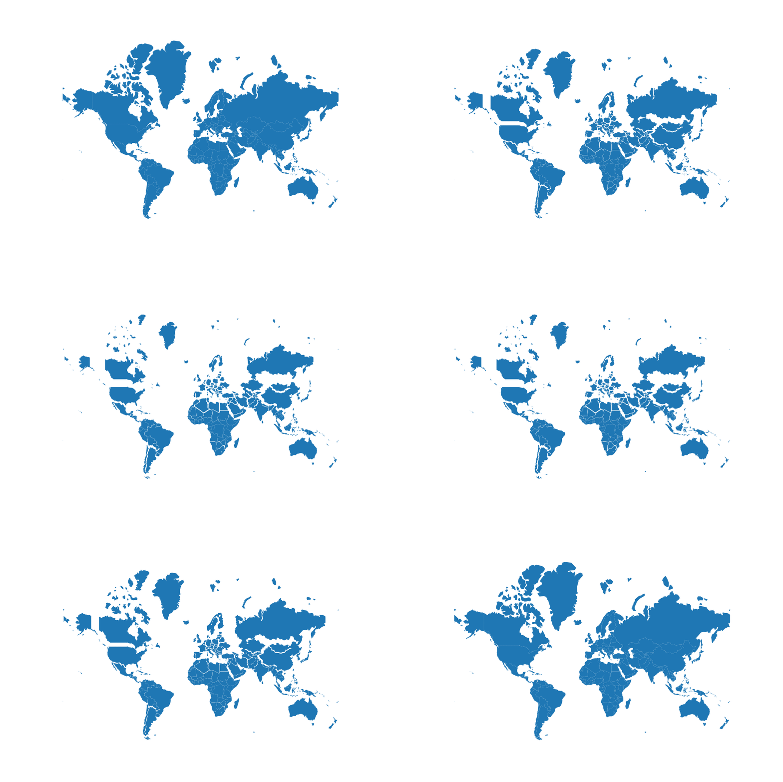
投影大小 vs 實際大小(墨卡托投影)
在 Python 中處理地理空間資料
Joris Van den Bossche
Open source software developer and teacher, GeoPandas maintainer
(x, y) 座標通常以公尺或英尺表示
Albers 等積投影
墨卡托投影(Mercator)
投影大小 vs 實際大小(墨卡托投影)

