在 Python 中處理地理空間資料
Joris Van den Bossche
Open source software developer and teacher, GeoPandas maintainer
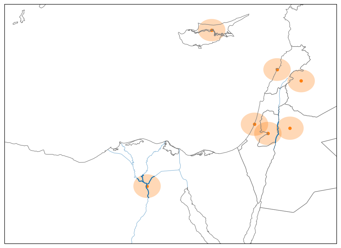
單一點位(cairo):
cairo
area = cairo.buffer(50000)

rivers_within_area = rivers.intersection(area)

print(rivers_within_area.length.sum() / 1000)
area = cairo.buffer(50000)
rivers_within_area = rivers.intersection(area)
print(rivers_within_area.length.sum() / 1000)
186.397219642
Series.apply():對 Series 中每個值呼叫函式
Series.apply()
Series.apply(function, **kwargs)
function
**kwargs
對 GeoSeries 而言,會對每個 geom 以 function(geom, **kwargs) 方式呼叫
GeoSeries
geom
function(geom, **kwargs)
要套用的函式:
def river_length(geom, rivers):
    area = geom.buffer(50000)
    rivers_within_area = rivers.intersection(area)
    return rivers_within_area.length.sum() / 1000
對單一幾何呼叫:
river_length(cairo, rivers=rivers)
186.3972196423455
套用到所有城市:
cities.geometry.apply(river_length, rivers=rivers)
0        0.000000
1        0.000000
2      106.072198
          ...
套用到所有城市並將結果存入新欄位:
cities['river_length'] = cities.geometry.apply(river_length, rivers=rivers)
cities.head()
             name                       geometry  river_length
0    Vatican City    POINT (1386304.6 5146502.5)      0.000000
1      San Marino    POINT (1385011.5 5455558.1)      0.000000
2           Vaduz    POINT (1059390.7 5963928.5)    106.072198
..            ...                            ...           ...