在 Python 中處理地理空間資料
Joris Van den Bossche
Open source software developer and teacher, GeoPandas maintainer

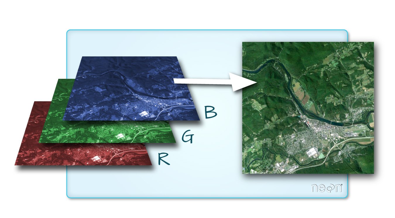
圖片來源:QGIS 說明文件


import rasterio
import rasterio
src = rasterio.open("DEM_world.tif")
中繼資料:
src.count
1
src.width, src.height
(4320, 2160)
array = src.read()
標準 numpy 陣列:
array
array([[[-4290, -4290, -4290, ..., -4290, -4290, -4290],
[-4278, -4278, -4278, ..., -4278, -4278, -4278],
[-4269, -4269, -4269, ..., -4269, -4269, -4269],
...,
[ 2804, 2804, 2804, ..., 2804, 2804, 2804],
[ 2804, 2804, 2804, ..., 2804, 2804, 2804],
[ 2804, 2804, 2804, ..., 2804, 2804, 2804]]], dtype=int16)
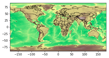
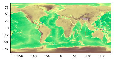
使用 rasterio.plot.show() 方法:
import rasterio.plot
rasterio.plot.show(src, cmap='terrain')

rasterstats:依向量幾何計算地理空間 raster 資料集的摘要統計(https://github.com/perrygeo/python-rasterstats)
點狀向量:
rasterstats.point_query(geometries, "path/to/raster",
interpolation='nearest'|'bilinear')
多邊形向量:
rasterstats.zonal_stats(geometries, "path/to/raster",
stats=['min', 'mean', 'max'])
result = rasterstats.zonal_stats(countries.geometry, "DEM_gworld.tif", stats=['mean'])countries['mean_elevation'] = pd.DataFrame(result)countries.sort_values('mean_elevation', ascending=False).head()
name continent geometry mean_elevation
157 Tajikistan Asia POLYGON ((74.98 37.41, ... 3103.231105
85 Kyrgyzstan Asia POLYGON ((80.25 42.34, ... 2867.717142
24 Bhutan Asia POLYGON ((91.69 27.77, ... 2573.559846
119 Nepal Asia POLYGON ((81.11 30.18, ... 2408.907816
6 Antarctica Antarctica (POLYGON ((-59.57 -80.04... 2374.075028
.. ... ... ... ...
在 Python 中處理地理空間資料