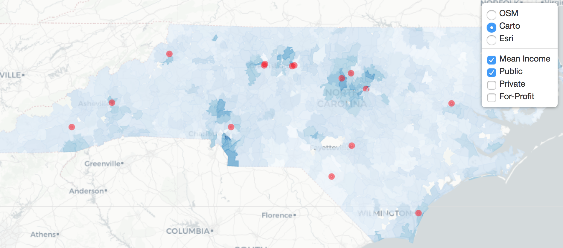
Putting it All Together
Interactive Maps with leaflet in R

Rich Majerus
Vice President of Strategy & Planning, Queens University of Charlotte
Review
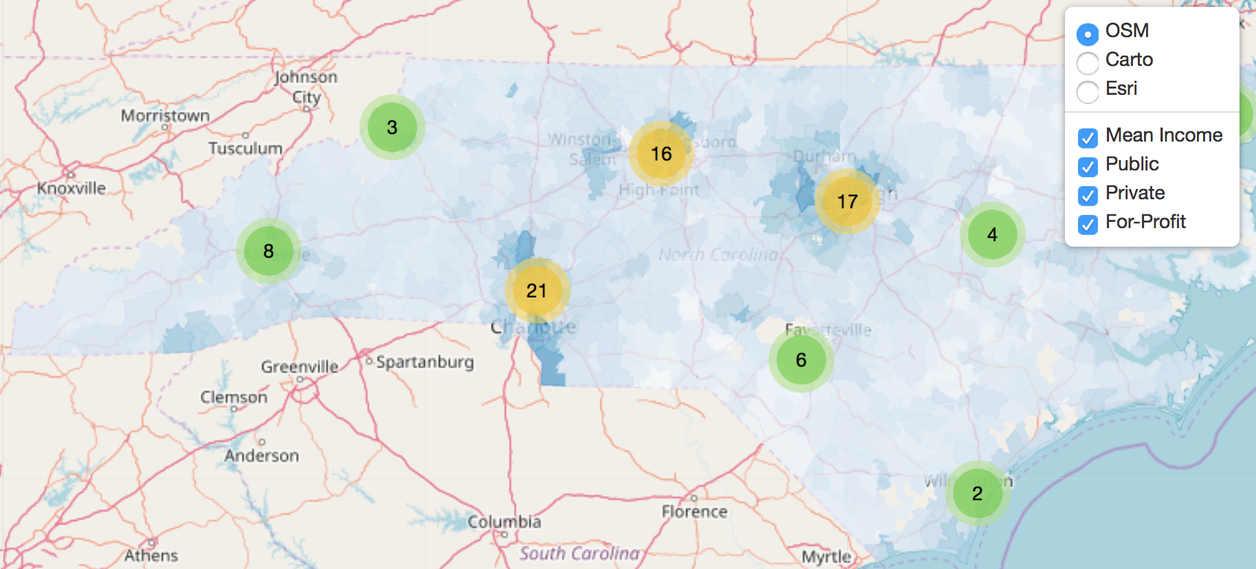
Putting it all Together
Interactive Maps with leaflet in R
Rich Majerus
Vice President of Strategy & Planning, Queens University of Charlotte

