Understanding census geography and tigris basics
Analyzing US Census Data in R

Kyle Walker
Instructor
TIGER/Line Shapefiles
![]()
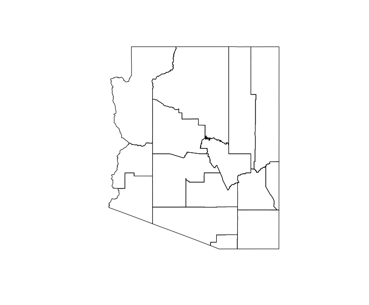
Legal and statistical entities
library(tigris)
az_counties <- counties(state = "AZ")
plot(az_counties)
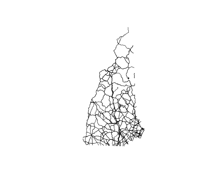
Geographic features
nh_roads <- primary_secondary_roads(state = "NH")
plot(nh_roads)