Working with Folium
Visualizing Geospatial Data in Python

Mary van Valkenburg
Data Science Program Manager, Nashville Software School
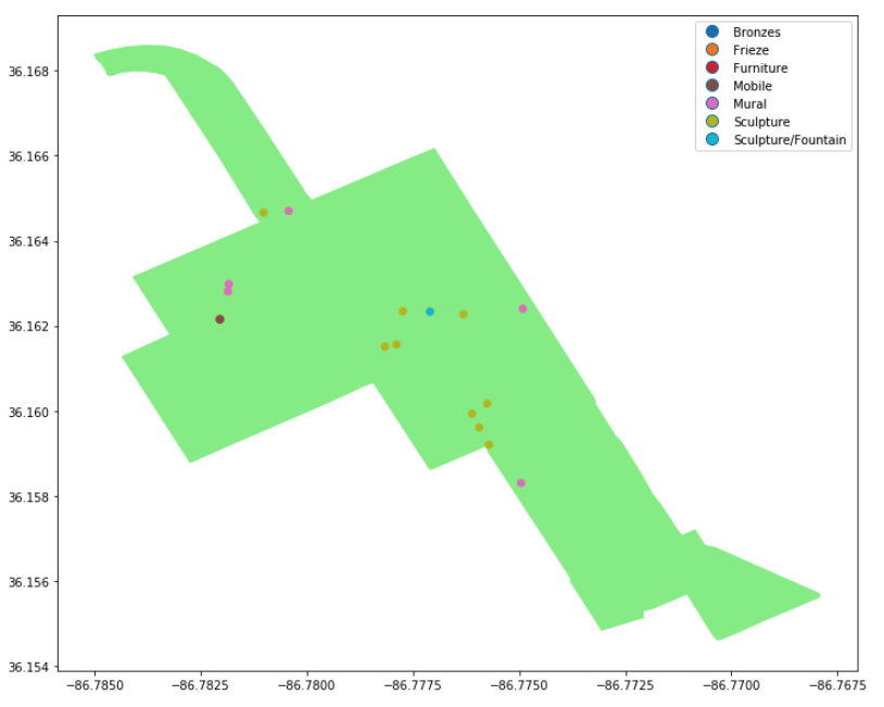
Folium
![]()
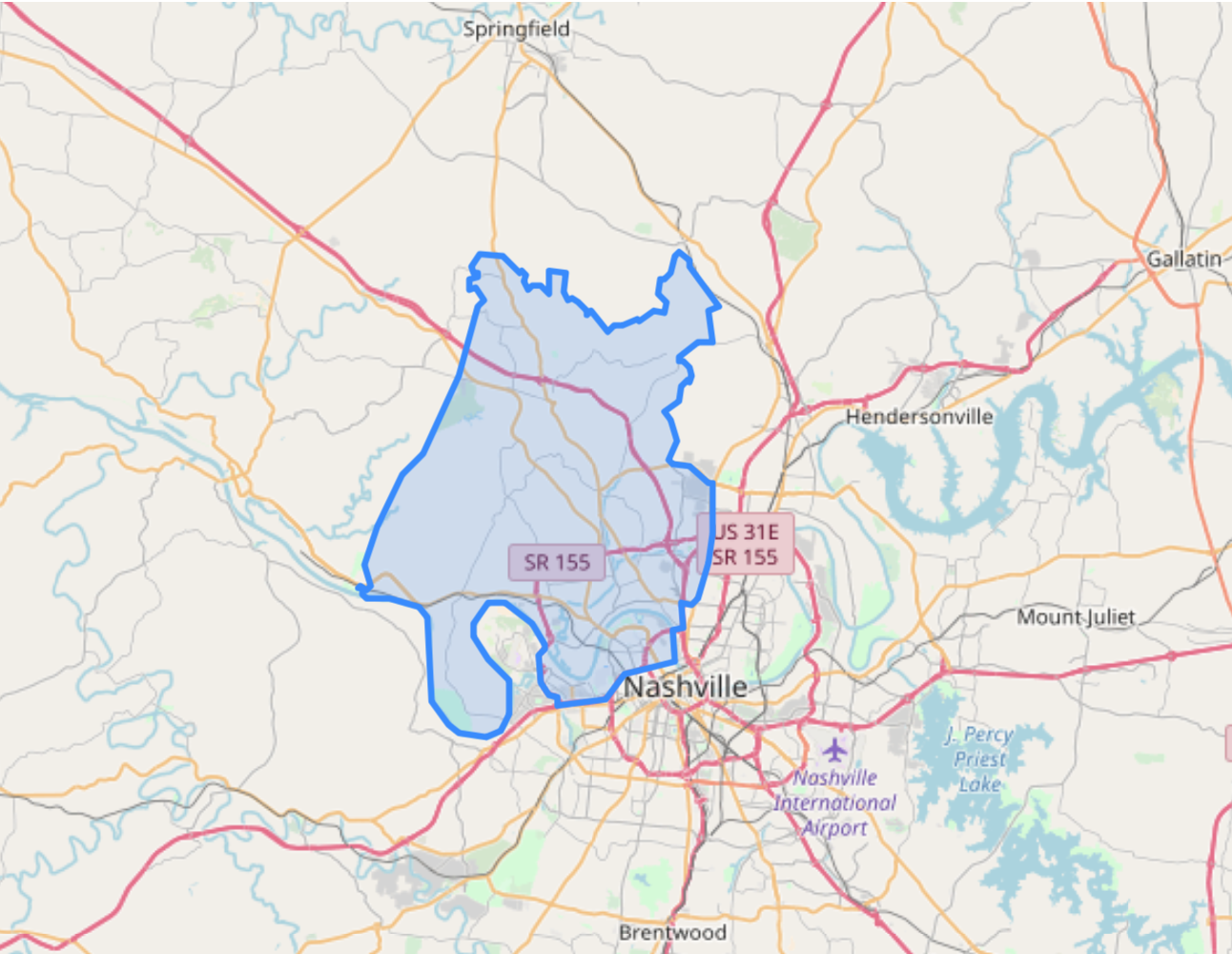
Visualizing Geospatial Data in Python
Mary van Valkenburg
Data Science Program Manager, Nashville Software School
![]()

