Introduction to the dataset
Working with Geospatial Data in Python

Joris Van den Bossche
Open source software developer and teacher, GeoPandas maintainer
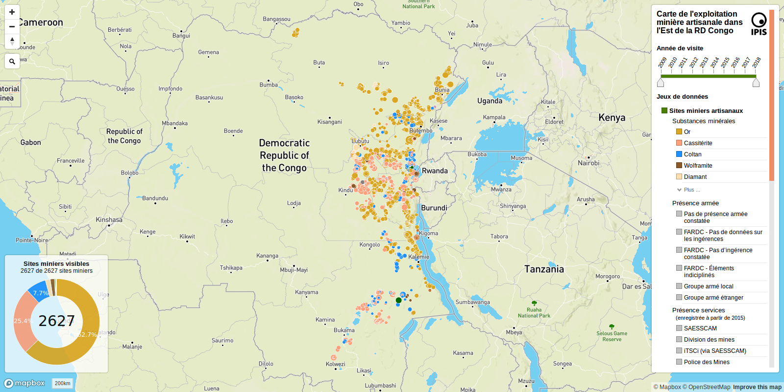
Artisanal mining site data from IPIS
IPIS: International Peace Information Service
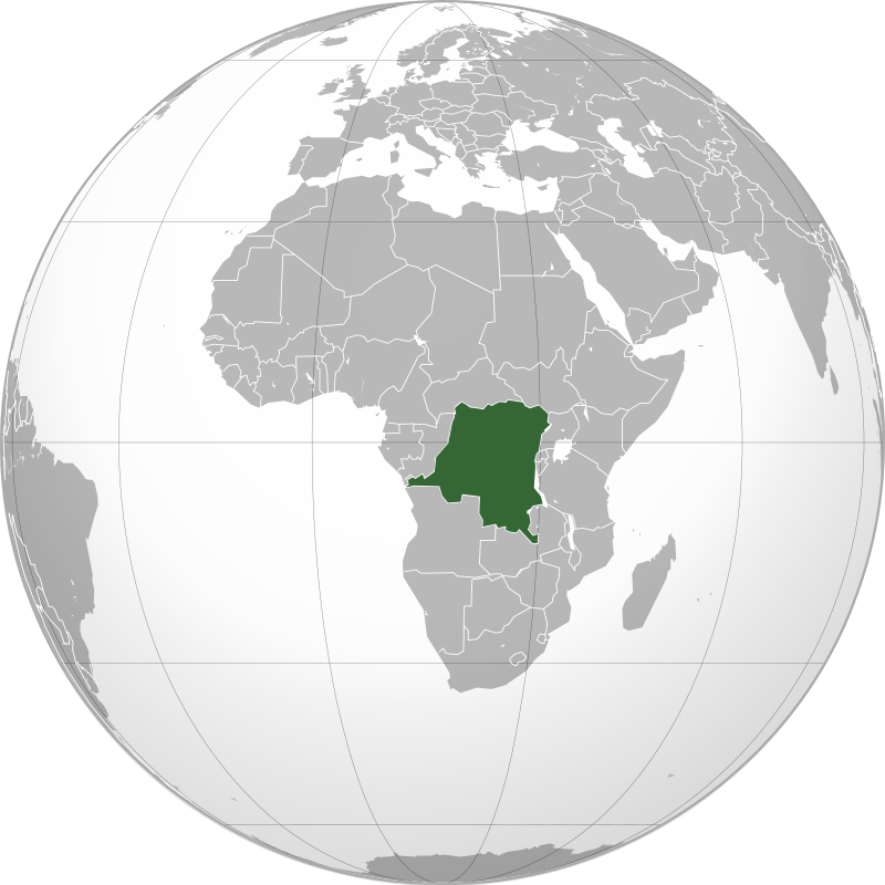
Image: Connormah, CC BY-SA 3.0, from Wikimedia Commons
Artisanal mining site data from IPIS
IPIS: International Peace Information Service
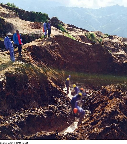 Image: G.A.O, public domain, from Wikimedia Commons