The "spatial join" operation
Working with Geospatial Data in Python

Dani Arribas-Bel
Geographic Data Science Lab (University of Liverpool)
Spatial relationships I
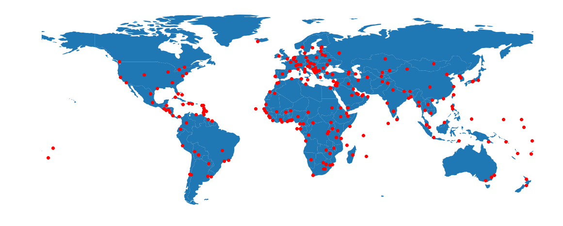
The Spatial Join
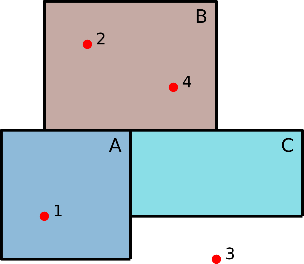
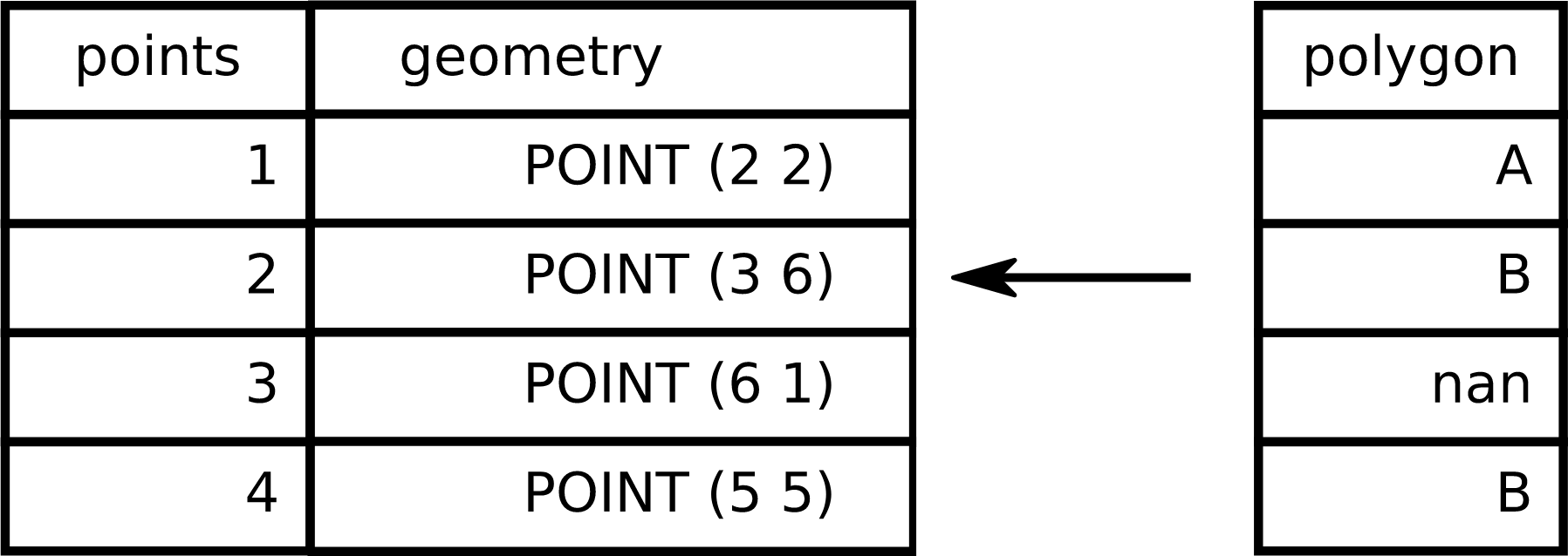
SPATIAL JOIN = transferring attributes from one layer to another based on their spatial relationship

