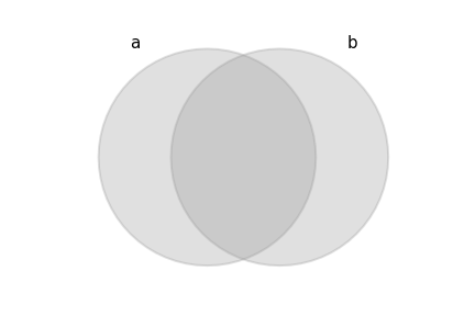
Spatial operations: creating new geometries
Working with Geospatial Data in Python

Joris Van den Bossche
Open source software developer and teacher, GeoPandas maintainer
Spatial operations
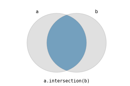
Spatial operations: intersection
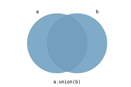
Spatial operations: union
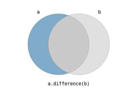
Spatial operations: difference
Spatial operations with GeoPandas
Spatial operations with GeoPandas
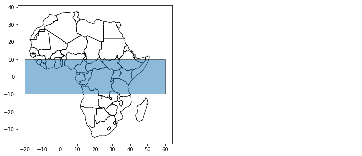
Spatial operations with GeoPandas
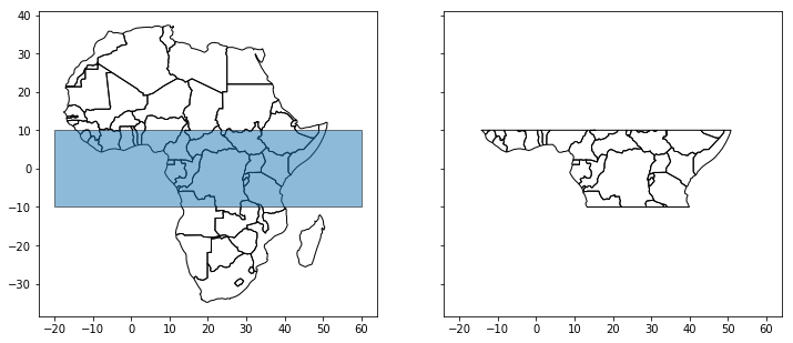
africa.intersection(box)