Coordinate Reference Systems
Working with Geospatial Data in Python

Joris Van den Bossche
Open source software developer and teacher, GeoPandas maintainer
Coordinate Reference System (CRS)
Location of the Eiffel Tower:
POINT (2.2945 48.8584)
→ The Coordinate Reference System (CRS) relates the coordinates to a specific location on earth.
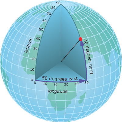
Geographic coordinates

Degrees of latitude and longitude.
E.g. 48°51′N, 2°17′E
Used in GPS, web mapping applications...
Attention!
in Python we use (lon, lat) and not (lat, long)
- Longitude: [-180, 180]
- Latitude: [-90, 90]
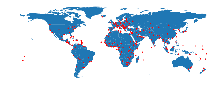
Maps are 2D

Projected coordinates

(x, y) coordinates are usually in meters or feet
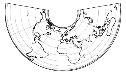
Projected coordinates - Examples
Albers Equal Area projection

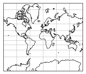
Projected coordinates - Examples
Mercator projection

Projected coordinates - Examples
Projected size vs actual size (Mercator projection)

Specifying a CRS
proj4 string
Example: +proj=longlat +datum=WGS84 +no_defs
Dict representation:
{'proj': 'longlat', 'datum': 'WGS84', 'no_defs': True}
EPSG code
Example:
EPSG:4326 = WGS84 geographic CRS (longitude, latitude)
CRS in GeoPandas
The .crs attribute of a GeoDataFrame/GeoSeries:
import geopandas
gdf = geopandas.read_file("countries.shp")
print(gdf.crs)
{'init': 'epsg:4326'}
Summary
- "geographic" (long, lat) versus "projected" (x, y) coordinates
- Coordinates Reference System (CRS) in GeoPandas:
.crsattribute - Most used geographic CRS: WGS84 or EPSG:4326
Let's practice
Working with Geospatial Data in Python

