Applying custom spatial operations
Working with Geospatial Data in Python

Joris Van den Bossche
Open source software developer and teacher, GeoPandas maintainer

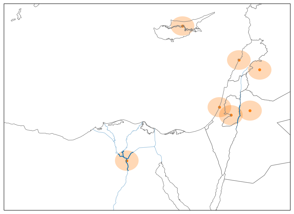
Total river length within 50 km of each city?
For a single point (cairo):
area = cairo.buffer(50000)rivers_within_area = rivers.intersection(area)print(rivers_within_area.length.sum() / 1000)
186.397219642
The apply() method
Series.apply(): call a function on each of the values of the Series
Series.apply(function, **kwargs)
function: the function being called on each value; the value is passed as the first argument**kwargs: additional arguments passed to the function
For a GeoSeries, the function is called as function(geom, **kwargs) for each geom in the GeoSeries
Applying a custom spatial operation
The function to apply:
def river_length(geom, rivers):
    area = geom.buffer(50000)
    rivers_within_area = rivers.intersection(area)
    return rivers_within_area.length.sum() / 1000
Call function on the single geometry:
river_length(cairo, rivers=rivers)
186.3972196423455
Applying on all cities:
cities.geometry.apply(river_length, rivers=rivers)
Applying a custom spatial operation
Applying on all cities:
cities.geometry.apply(river_length, rivers=rivers)
0        0.000000
1        0.000000
2      106.072198
          ...
Applying a custom spatial operation
Applying on all cities and assigning result to new column:
cities['river_length'] = cities.geometry.apply(river_length, rivers=rivers)
cities.head()
             name                       geometry  river_length
0    Vatican City    POINT (1386304.6 5146502.5)      0.000000
1      San Marino    POINT (1385011.5 5455558.1)      0.000000
2           Vaduz    POINT (1059390.7 5963928.5)    106.072198
..            ...                            ...           ...
Let's practice!
Working with Geospatial Data in Python

