Geographical data in Twitter JSON
Analyzing Social Media Data in Python

Alex Hanna
Computational Social Scientist
Locations in Twitter text

User-defined location

print(tweet['user']['location'])
Bay Area
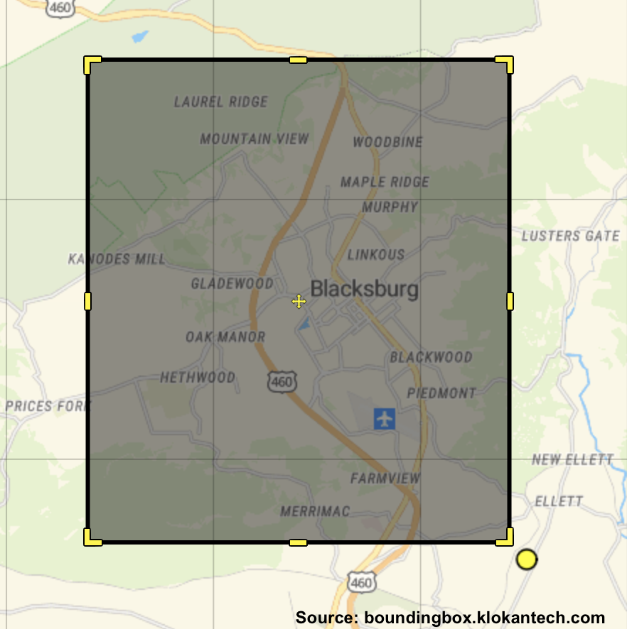
place JSON

print(tweet['place'])
{'attributes': {},
 'bounding_box': {'coordinates':
  [[[-80.47611, 37.185195],
    [-80.47611, 37.273387],
    [-80.381618, 37.273387],
    [-80.381618, 37.185195]]],
  'type': 'Polygon'},
 'country': 'United States',
 'country_code': 'US',
 'full_name': 'Blacksburg, VA',
 'name': 'Blacksburg',
 'place_type': 'city',
 ...}
Calculating the centroid

coordinates = [
    [-80.47611, 37.185195],
    [-80.47611, 37.273387],
    [-80.381618, 37.273387],
    [-80.381618, 37.185195]]

longs = np.unique( [x[0] for x
    in coordinates] )
lats  = np.unique( [x[1] for x
    in coordinates] )

central_long = np.sum(longs) / 2
central_lat  = np.sum(lats) / 2
coordinates JSON

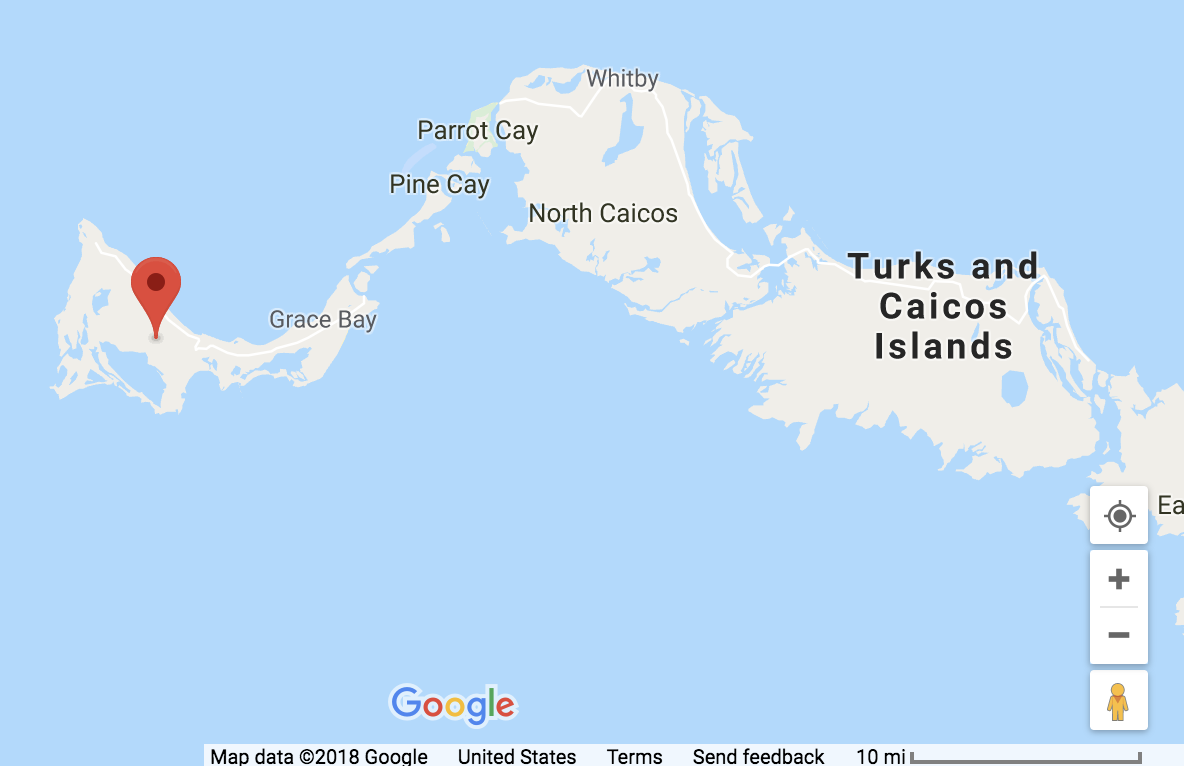
print(tweet['coordinates'])
{'type': 'Point',
'coordinates': [-72.2833,
                 21.7833]}
Let's practice!
Analyzing Social Media Data in Python

