Introduction to leaflet
Interactive Maps with leaflet in R

Rich Majerus
Vice President of Strategy & Planning, Queens University of Charlotte
leaflet
- Open-source JavaScript library
- Popular option for creating interactive mobile-friendly maps
- Can be created using only R code via the
htmlwidgetspackage

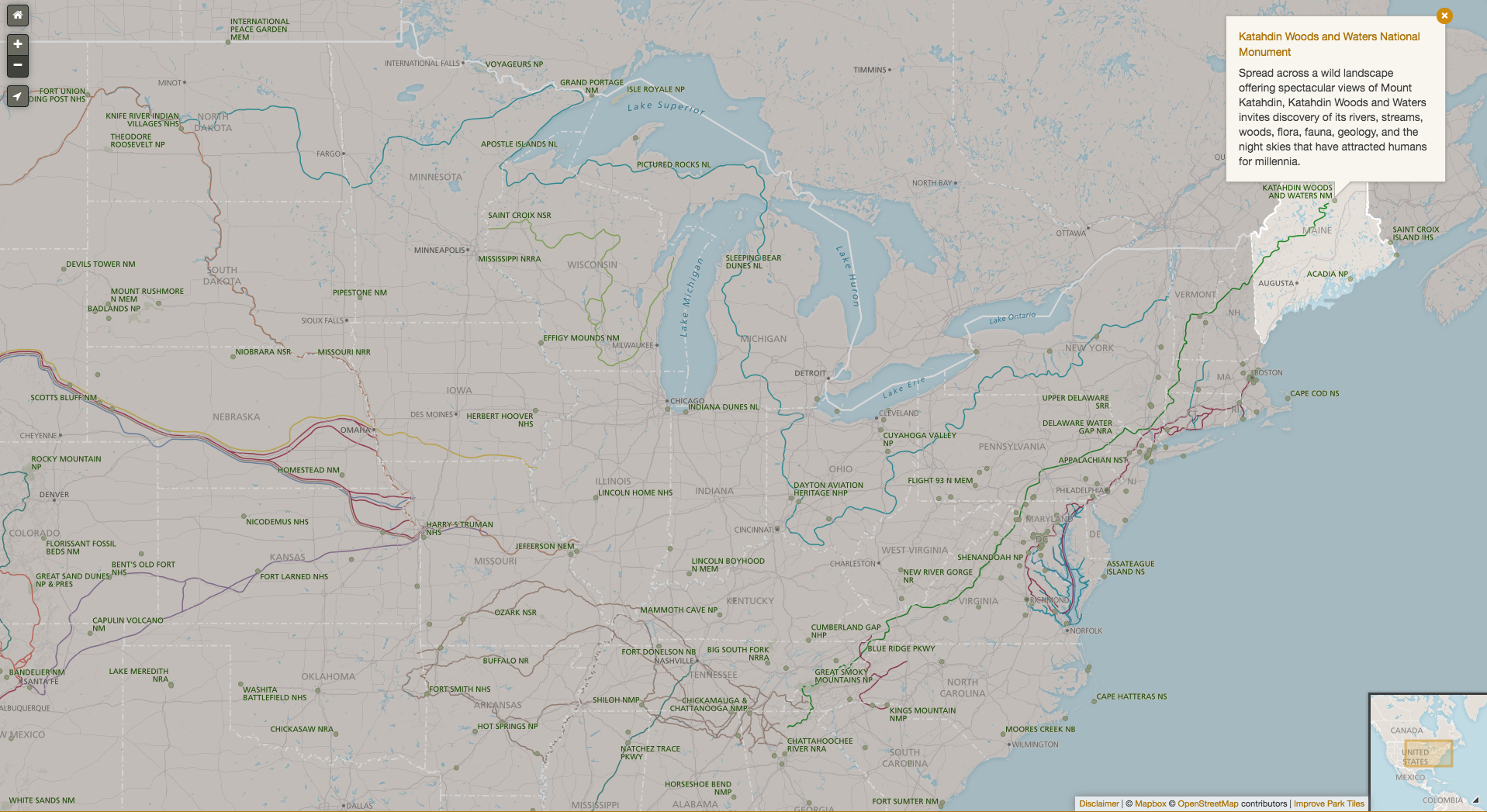
leaflet Example: National Parks Service
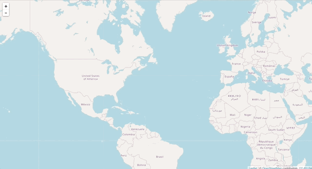
What We are Working Toward
Creating our First leaflet Map
library(leaflet)
leaflet() %>%
   addTiles()
Where We are Going in Chapter 1
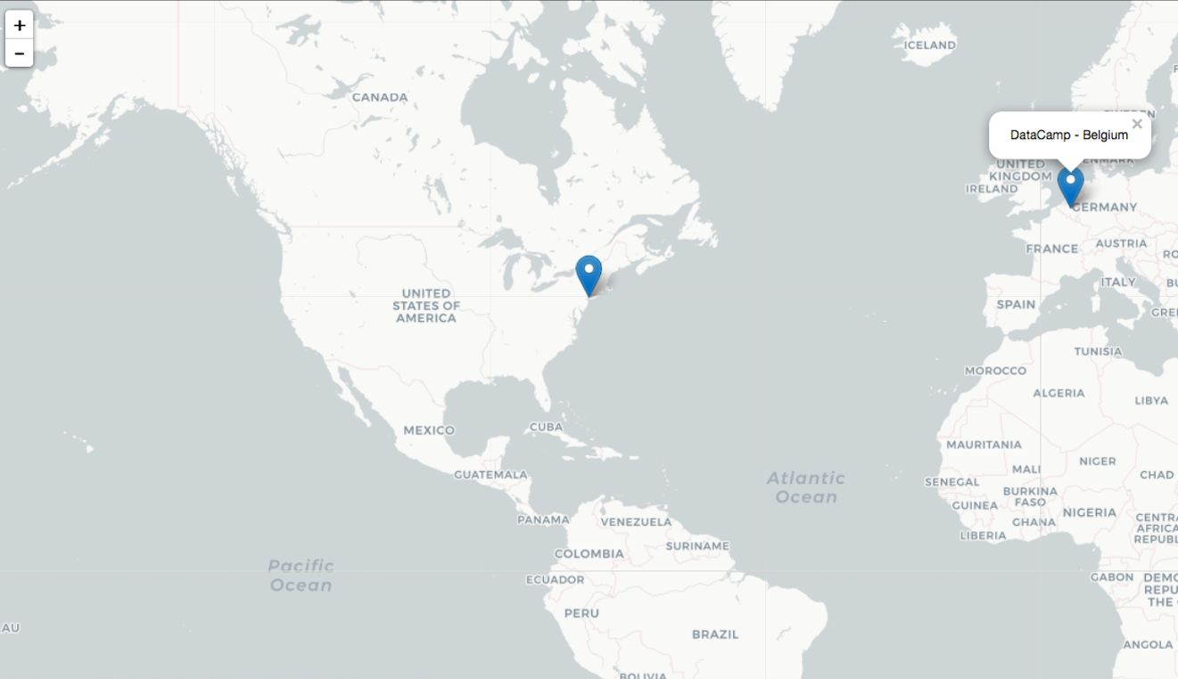
leaflet() %>%
   addProviderTiles("CartoDB") %>%
   addMarkers(lng = dc_hq$lon,
              lat = dc_hq$lat,
              popup = dc_hq$hq)